What is recorded here
In a hazel stand on the SE edge of a wet rush-covered pasture field. Listed as ‘Fulachta fiadh’ in the RMP (1996) on the basis of a 1994 map annotation by Tom Coffey (SMR file), where two fulachtaí fia were indicated (SMR file). This fulacht fia comprises a low irregularly shaped, hazel- and moss-covered mound (9m N-S; 5m E-W; H 0.5-0.7m) of burnt stone and ash, with ill-defined S and W limits. A second monument was not located during an inspection in 1999.
Compiled by: Gearóid Conroy and Conn Herriott
Date of upload: 13 June 2023
The monument record does not grant public access. Check the route and ask the landowner before entering private land.
- What survives
- Recorded monument
Places near here
 Burren National ParkVisitor information · 1088 yd
 Enclosure in TeeskaghEnclosure · 1251 yd
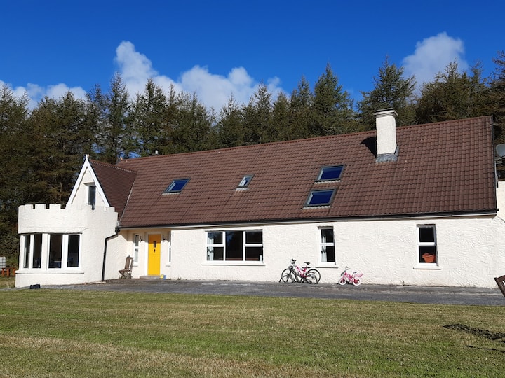 Enclosure in Clooncoose, TeeskaghEnclosure · 1383 yd
 Correen R.C. Chapel (in ruins)Church · 1.1 mi
 Father Ted's HouseHeritage attraction · 1.2 mi
 Glenquin Housefarm house · 1.2 mi
 Castle in ruinsCastle, tower house · 2.1 mi
 Castle (in ruins)Castle, tower house · 2.3 mi
 Farbrega RockNamed rock · 2.7 mi
 Fergus River CaveCave · 3.0 mi
 Rock IslandIsland · 3.4 mi
 Inchiquin IslandIslet · 3.4 mi