What is recorded here
On the N bank of a WSW-ENE flowing rivulet, in a low-lying damp area surrounded by higher ground on all sides. Listed as ‘Fulachta fia’ in the RMP (1996), following a 1994 report by Tom Coffey of four fulachtaí fia (SMR file). This fulacht fia comprises a grass-covered mound (8m E-W; 5.6m N-S: H 0.4-0.6m) of burnt stone and ash, which is exposed at the S where the rivulet flows. Rushes grow around the edge of the mound. Another fulacht fia (CL010-162002-) lies c. 11m to the SW.
Compiled by: Mary Tunney and Conn Herriott
Date of upload: 12 June 2023
The monument record does not grant public access. Check the route and ask the landowner before entering private land.
- What survives
- Recorded monument
Places near here
 Enclosure in Clooncoose, TeeskaghEnclosure · 306 yd
 Enclosure in ClooncooseEnclosure · 904 yd
 Burren National ParkVisitor information · 1.2 mi
 Correen R.C. Chapel (in ruins)Church · 1.4 mi
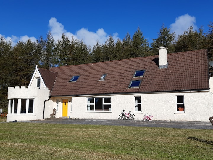
 Father Ted's HouseHeritage attraction · 1.5 mi
 Glenquin Housefarm house · 1.5 mi
 Castle in ruinsCastle, tower house · 1.7 mi
 Castle (in ruins)Castle, unclassified · 1.8 mi
 Farbrega RockNamed rock · 2.1 mi
 Fergus River CaveCave · 2.8 mi
 Inchiquin IslandIslet · 3.6 mi
 Rock IslandIsland · 3.6 mi