What is recorded here
This site was situated on rising ground above a very boggy area to N and E and c. 250m due S of Mullagh Lough. A drain or stream was located c. 60m to the E. The site comprised a circular spread of charcoal and burnt stone c. 0.13m in diameter, c. 0.06m thick. There appeared to be a circular trough (diam. c. 1m) associated with the spread which itself lay approximately 0.1m below sod-line. The burnt stones were all sandstone. The site was excavated.
The above description is derived from the published 'Archaeological Inventory of County Cavan' (Dublin: Stationery Office, 1995). In certain instances the entries have been revised and updated in the light of recent research.
Date of upload/revision: 22 December 2008
The monument record does not grant public access. Check the route and ask the landowner before entering private land.
- What survives
- Recorded monument
Places near here
 Cloghballybeg ForestForest · 81 yd
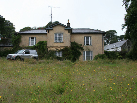 Lake View Housecountry house · 665 yd
 Crow IslandIslet · 756 yd
 Sally IslandIslet · 876 yd
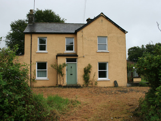 Gorteen Househouse · 878 yd
 Grave YardGraveyard · 879 yd
 Green IslandPromontory fort, inland · 891 yd
 Cloghbally LowerMountain / peak · 1326 yd
 Sit of Old CastleCastle, unclassified · 2.0 mi
 Cornaglare or PalmiraMountain / peak · 2.2 mi
 Feegat ForestWood · 2.4 mi
 CastleCastle, tower house · 2.7 mi