
What is recorded here
Situated on wet poorly drained NW facing slope of rising ground in upland mountain valley overlooking valley to W. Higher ground to S and E. Roughly horseshoe shaped mound (H 0.5-0.8m; dims. 13.5m N-S; 9m E-W) of burnt material with slight depression (D 0.2m; 2m x 2m) in W face, facing onto old drain running N-S to W of fulacht.
Compiled by: Caimin O'Brien.
Date of upload: 22 September 2008
The monument record does not grant public access. Check the route and ask the landowner before entering private land.
- What survives
- Recorded monument
Places near here
 Fulacht fia in GarranakilkaFulacht fia · 339 yd
 IndicatedCastle, ringwork · 1.1 mi
 CoumsallahaunMountain / peak · 1.7 mi
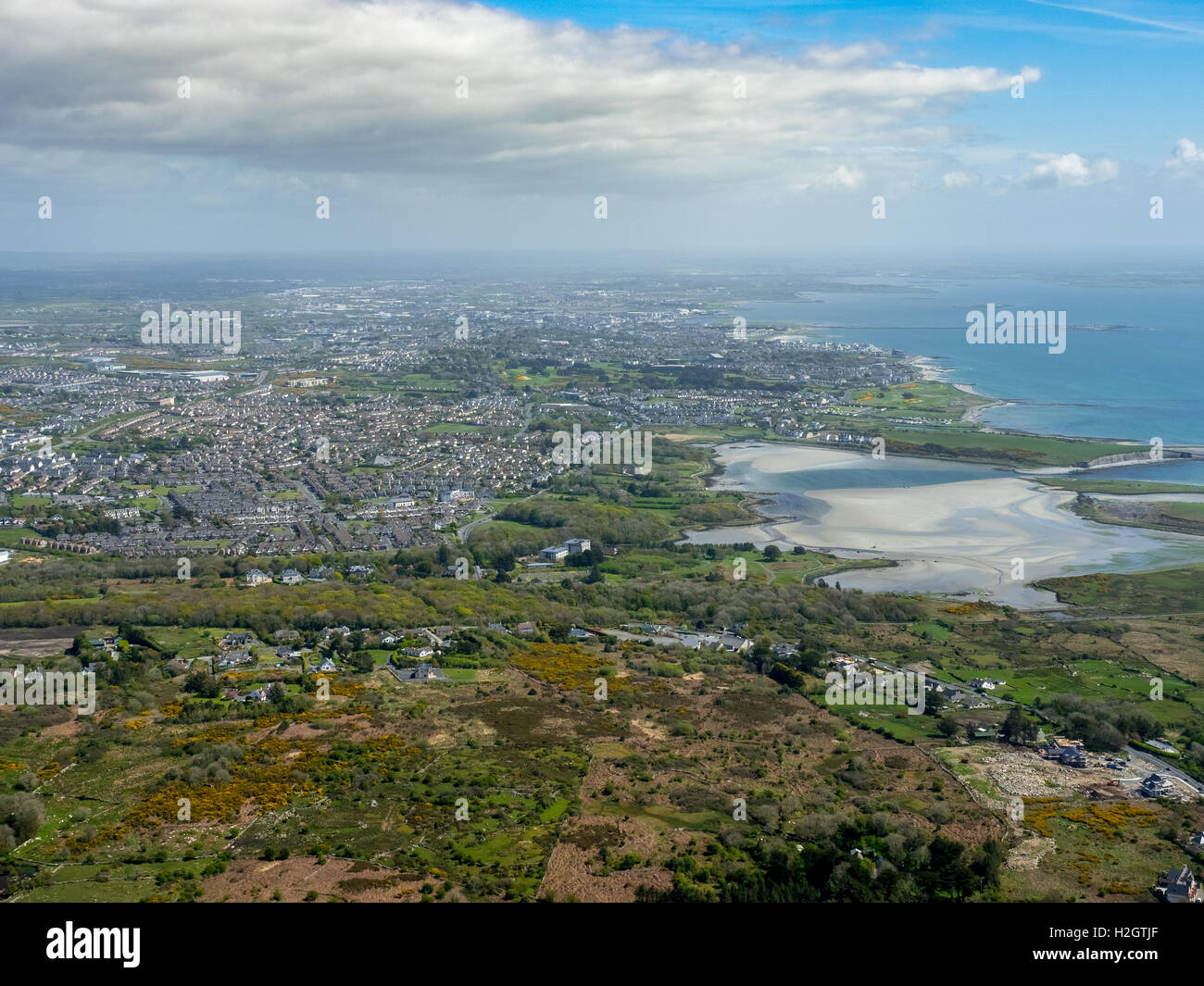 Enclosure in Rusheen MoreEnclosure · 2.0 mi
 CastleCastle, ringwork · 2.2 mi
 Saint Patrick's National Schoolschool · 2.2 mi
 Catholic Church of the Sacred Heartchurch/chapel · 2.3 mi
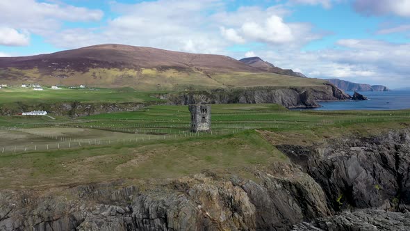 Commaun BegMountain / peak · 2.5 mi
 Killavalla WoodForest · 4.7 mi
 Sweet ChestnutSweet Chestnut · 8.2 mi
 Silvermines ViewpointViewpoint · 8.2 mi
 Our Lady Assumed into HeavenMemorial · 8.9 mi
Other information
Photo: Credit not shown in the picture search · Rights wording not checked; contact us if this picture should be removed