What is recorded here
A large spread (25m N-S; min. 10m E-W) of heat-shattered stones and charcoal-enriched soil was discovered during archaeological monitoring of topsoil stripping along the route of the Caherlag-Ballincollig Bord Gáis Eireann pipeline and was excavated in 1999. Excavation revealed an elongated oval trough (4.62m E-W; 1.4m N-S; D 0.45-0.55m) with straight sides and a flat bottom. Stone-lining was found at the E and W ends of the trough. A roughly horseshoe-shaped kerbed hearth (1.3m x 1.1m) lay at the E end of the trough with the open end facing the trough. Around the NE side of the trough was the remains of a stone surface. A circular pit which cut through the S edge of the trough and which was contemporary with it was interpreted as a possible roasting pit. (Coughlan 2000a, 23)
The above description is derived from 'The Archaeological Inventory of County Cork. Volume 5' (Dublin: Stationery Office, 2009).
Date of upload: 22 December 2009
The monument record does not grant public access. Check the route and ask the landowner before entering private land.
- What survives
- Recorded monument
Places near here
 Butlerstown Housegate lodge · 444 yd
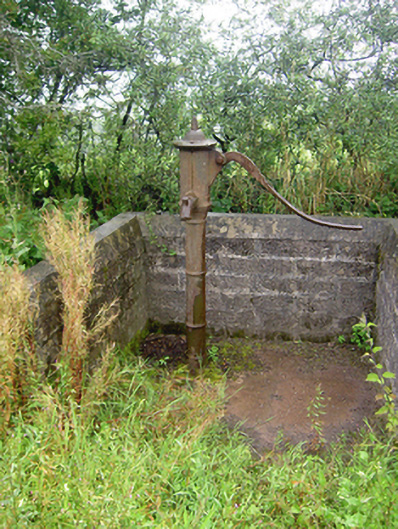 water pumpwater pump · 891 yd
 Site of Grave YardBurial ground · 1024 yd
 Grave YardGraveyard · 1248 yd
 Sarsfields Court (in Ruins)Castle, unclassified · 1643 yd
 Old Court (Site of)Castle, unclassified · 1.4 mi
 Gleeson MemorialMemorial · 1.5 mi
 Carberrytown WoodWood · 1.5 mi
 Cork WalksVisitor information · 5.2 mi
 Lavitts QuayMemorial · 5.5 mi
 European YewEuropean Yew · 25 mi
 Pit-burial in KillydonoghoePit-burial · 1266 yd