What is recorded here
Situated towards the bottom of a gentle S-facing slope. Identified in centre-line testing (10E0298) in Area 4 of the N5 Ballaghaderreen bypass when it was set aside for further work as a part of Bockagh 4. (Janes and Delaney 2010a, 9)
Subsequently it was fully excavated (10E0379) which revealed that a rectangular trough (dims 2.03m x 1.4m; D 0.25) was cut through peat into the silty clay subsoil, with its upcast nearby. Timbers lining the sides and floor were derived from split roundwoods, and were mostly willow, alder and oak. A sample of hazel produced a C14 date of 1115-932 cal. BC. The trough and upcast were covered by a horseshoe-shaped mound of burnt stone (dims 7.7m x 4.9m; T 0.5m). (Kyle and Delaney 2011g)
Fulacht fia (RO008-073002-) is c. 5m to the NE, and fulacht fia (RO008-073001-) is c 10m to the NNE. Further afield there are three fulachta fia (RO008-072001-; RO008-072002-; RO008-072003-) c. 80m to the WNW, and the possible hearth (RO008-074----) is c. 80m to the SE.
Compiled by: Michael Moore
Date of upload: 10 February, 2010
The monument record does not grant public access. Check the route and ask the landowner before entering private land.
- What survives
- Recorded monument
Places near here
 Bockagh HillMountain / peak · 1293 yd
 CaveMan-made underground passage · 1296 yd
 Church in Doogary ((costello By.)Church · 1.3 mi
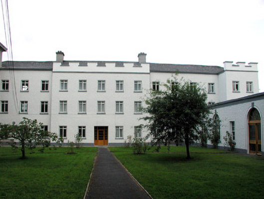 Saint Nathy's Collegebarracks · 1.9 mi
 Casatle (ruins)Castle, unclassified · 2.0 mi
 Embanked enclosureFairy fort / stone ringfort · 2.0 mi
 CastleCastle, unclassified · 2.2 mi
 Old Cave Burial GroundArchaeological place · 5.4 mi
 Crow IslandIslet · 6.8 mi
 Bawn IslandIslet · 6.8 mi
 Rose PointHeadland · 7.0 mi
 Castle PointHeadland · 7.0 mi