What is recorded here
Situated towards the bottom of a gentle S and SW-facing slope. Identified in centre-line testing (10E0298) in Area 4 of the N5 Ballaghaderreen bypass as a burnt mound (dims 8m E-W; 5m N-S; max. T 0.35m), which was set aside for further work as a part of Bockagh 3. (Janes and Delaney 2010a, 9)
It was completely excavated (10E0378) when the mound (dims 5.1m x 3.6m; T 0.4m) overlay an oval trough (dims 2.3m x 1.3m; D 0.57m) cut in the silty clay subsoil. It was cut by a rectangular trough (dims 1.4m x 1.15m; D 0.28m). Both troughs were filled with stone from the burnt mound. Fulacht fia (RO008-072001-) is c. 5m to the E, while the burnt mound (RO008-072003-) is c. 10m to the N. Further afield the fulacht fia (RO008-071----) is c. 100m to the W and the burnt mounds (RO008-073001-; RO008-073002-; RO008-073003-) are c. 80m to the ESE. (Kyle, J. and Delaney, S. 2011f)
Compiled by: Michael Moore
Date of upload: 10 February, 2012
The monument record does not grant public access. Check the route and ask the landowner before entering private land.
- What survives
- Recorded monument
Places near here
 CaveMan-made underground passage · 1201 yd
 Bockagh HillMountain / peak · 1233 yd
 Church in Doogary ((costello By.)Church · 1.3 mi
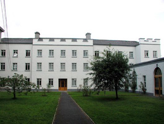 Saint Nathy's Collegebarracks · 1.9 mi
 Embanked enclosureFairy fort / stone ringfort · 2.0 mi
 Casatle (ruins)Castle, unclassified · 2.0 mi
 CastleCastle, unclassified · 2.3 mi
 Old Cave Burial GroundArchaeological place · 5.4 mi
 Crow IslandIslet · 6.8 mi
 Bawn IslandIslet · 6.9 mi
 Rose PointHeadland · 7.0 mi
 Castle PointHeadland · 7.0 mi