What is recorded here
According to John Feehan (Environmental Survey, Damer House, 1987) 'There is two ploughed-out fulachta fiadh in the north of the townland. This field is very peaty and there is a lot of marl visible. The fulacht fiah consisted of both limestone and sandstone'.
These fulachtaí fia remain unlocated within the townland.
The above description is derived from 'The Archaeological Inventory of County Tipperary. Vol. 1 - North Tipperary' compiled by Jean Farrelly and Caimin O'Brien (Dublin: Stationery Office, 2002). In certain instances the entries have been revised and updated in the light of recent research.
Date of upload/revision: 22 September 2008
The monument record does not grant public access. Check the route and ask the landowner before entering private land.
- What survives
- Recorded monument
Places near here
 Enclosure in BrickanaghEnclosure · 1302 yd
 Glenahilty National Schoolschool · 1486 yd
 CastleCastle, tower house · 1612 yd
 Enclosure in Emmel WestEnclosure · 1665 yd
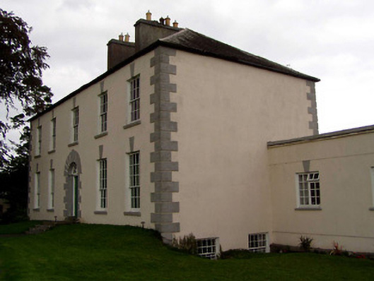 Coolnamunna Housecountry house · 1711 yd
 Ballycapple WoodForest · 1.3 mi
 Thomas MacDonagh Heritage CentreMuseum · 1.9 mi
 MacDonagh HouseMemorial · 1.9 mi
 Castle in ruinsCastle, unclassified · 2.4 mi
 Knockanacree WoodForest · 2.8 mi
 James Devaney MemorialMemorial · 3.3 mi
 Gibbet HillMountain / peak · 7.0 mi