What is recorded here
Two burnt mounds sat side by side in Ballyshaneduff, waiting beneath soil that men had stripped for a road. One held a rectangular trough, the other a similar shape, yet neither overlapped the other. They may have belonged to the same season or to different centuries. The derries kept both secrets intact until Thaddeus Breen opened them in 2004.
New monument uncovered during topsoil-stripping in advance of the M7 Heath-Mayfield motorway scheme by Thaddeus Breen under excavation licence number 03E0662.
Site was excavated between April and June 2004 and consisted of a low mound of burnt material covering a rectangular trough and a number of other pits showed that the site was a fulacht fiadh. Removal of a further deposit immediately to the E revealed a second fulacht fiadh (LA009-046) of similar construction. The two burnt mounds did not overlap, so it was not possible to determine which was the earlier or, indeed whether they were contemporary. This site was described as Fulacht A and consisted of an irregular-shaped spread of charcoal rich soil and heat-shattered stone, 18m by 15m (Bennett 2006, 287-8).
Compiled by: Caimin O'Brien
Date of upload: 17 December 2007
The monument record does not grant public access. Check the route and ask the landowner before entering private land.
- What survives
- Recorded monument
Places near here
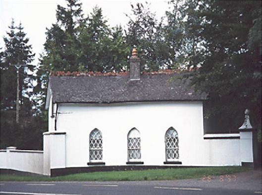 Ashfield Housegate lodge · 350 yd
 Ashgrove RathFairy fort / earthen ringfort · 1083 yd
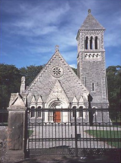 Church of the Ascension (Lea)church/chapel · 1251 yd
 Enclosure in BellegroveEnclosure · 1294 yd
 Wych ElmWych Elm · 1.4 mi
 OutlinedCastle, unclassified · 2.0 mi
 Giant SequoiaGiant Sequoia · 2.2 mi
 Site of CastleCastle, unclassified · 2.3 mi
 Church (in Ruins), GraveyardChurch · 2.7 mi
 Bog Lake WalkWalking route · 5.2 mi
 Bog Oak WalkWalking route · 5.4 mi
 Bithia Mary CrokerMemorial · 10 mi