What is recorded here
Described in 1994 as a flattened horseshoe-shaped area (25m E-W; 11.5m N-S) of blackened stone beside a drain (SMR file). It could not be located in 2005.
The above description is derived from 'The Archaeological Inventory of County Cork. Volume 5' (Dublin: Stationery Office, 2009).
Date of upload: 22 December 2009
The monument record does not grant public access. Check the route and ask the landowner before entering private land.
- What survives
- Recorded monument
Places near here
 Burnt mound in BallybranaghBurnt mound · 694 yd
 Enclosure in BallybranaghEnclosure · 875 yd
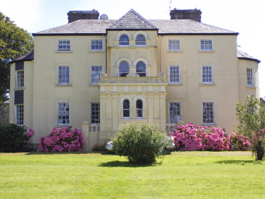 Kilcrone Housecountry house · 1131 yd
 Kilboy Ho.Country house · 1527 yd
 CastleCastle, tower house · 1.2 mi
 PohutukawaPohutukawa · 2.1 mi
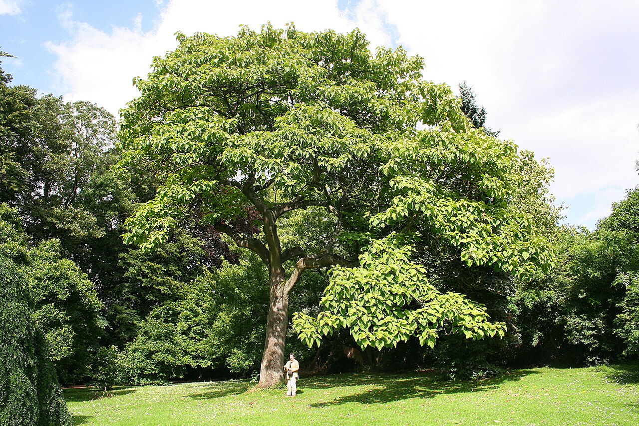 PrincesstreePrincesstree · 2.1 mi
 Ballycroneen BeachBeach / strand · 3.0 mi
 Ballybrannigan BeachBeach / strand · 3.3 mi
 Anchor The SagaMemorial · 3.5 mi
 Garrankinnefeake GraveyardRuins · 3.8 mi
 (Site of) CastleCastle, unclassified · 3.9 mi