
What is recorded here
In tillage, on a gentle NNW-facing slope. A spread (c. 22m N-S; c. 20m E-W) of heat-shattered stones and charcoal-enriched soil was noted but it was not possible to determine its shape because of the young crop in the field. A levelled enclosure (CO089-073----) lies c. 160m to the NNE.
The above description is derived from 'The Archaeological Inventory of County Cork. Volume 5' (Dublin: Stationery Office, 2009).
Date of upload: 22 December 2009
Burnt mound in Ballybranagh is a prehistoric ritual or industrial site, likely dating to the Neolithic or Bronze Age. Its significance lies in providing evidence of heat-related activities, possibly for cooking, metalworking, or ceremonial purposes.
The monument record does not grant public access. Check the route and ask the landowner before entering private land.
- What survives
- Recorded monument
Places near here
 Enclosure in BallybranaghEnclosure · 190 yd
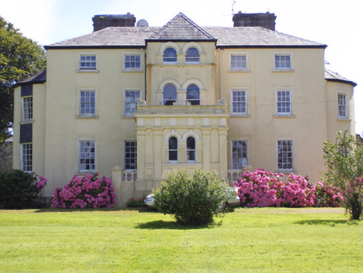 Kilcrone Housecountry house · 1493 yd
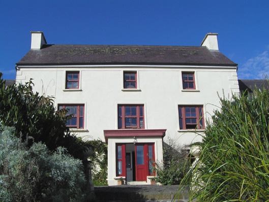 Barnabrow Housecountry house · 1647 yd
 St Colemans CathedralCathedral · 1672 yd
 CastleCastle, tower house · 1.1 mi
 PohutukawaPohutukawa · 2.0 mi
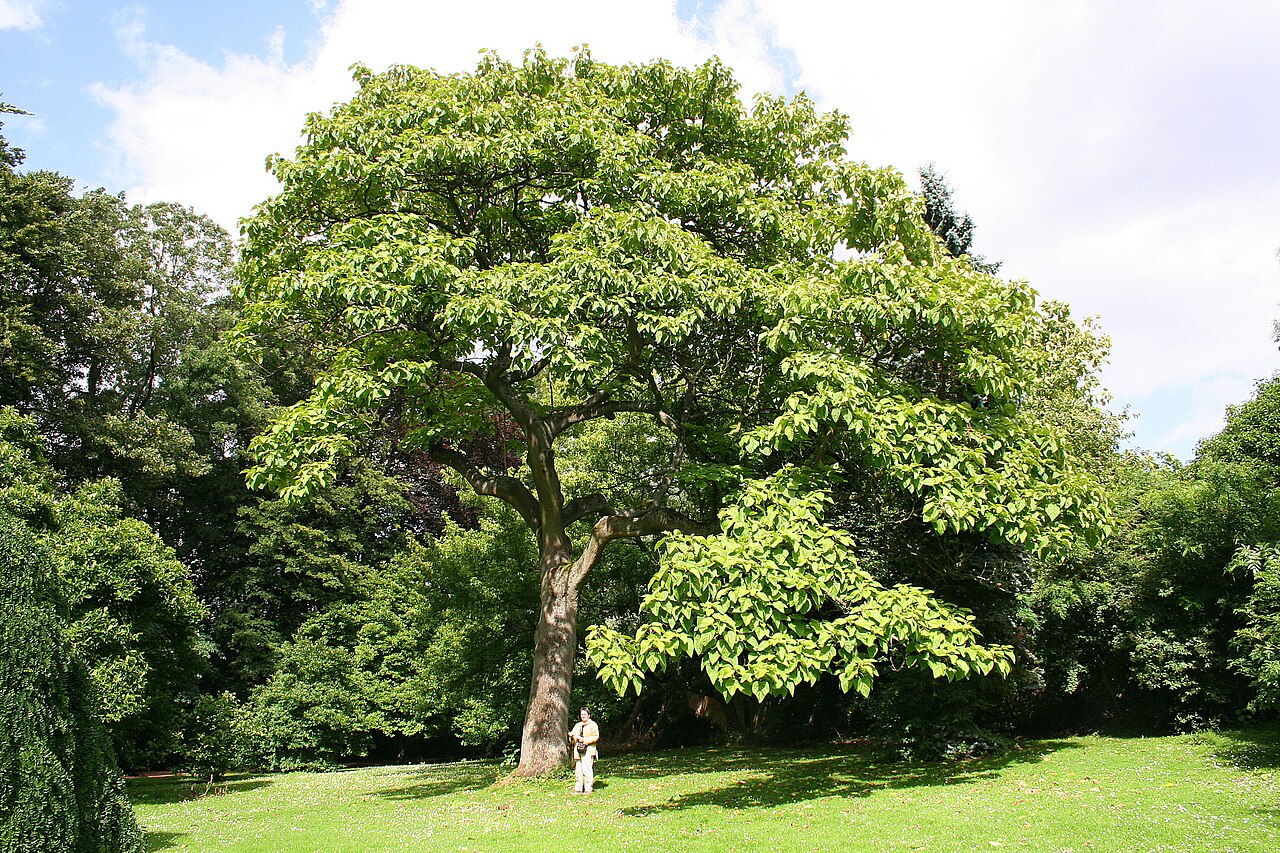 PrincesstreePrincesstree · 2.1 mi
 Ballycroneen BeachBeach / strand · 3.4 mi
 Castle (in Ruins)Castle, tower house · 3.6 mi
 Ballybrannigan BeachBeach / strand · 3.7 mi
 Garrankinnefeake GraveyardRuins · 3.8 mi
 Anchor The SagaMemorial · 3.9 mi
Other information
Photo: Credit not shown in the picture search · Rights wording not checked; contact us if this picture should be removed