What is recorded here
In lowlying gently undulating pasture, located to the rear of a line of houses. Two fulacht fia were identified by the owner while ploughing, the second fulacht fia (LI012-126----) lies 195m to SE. Recorded as site number 2 by Celie O'Rahilly in 1989 and described as following; ‘This is located nearer to the road, to the west of the Td. boundary, circa half way down. It still constitutes the highest point in the immediate surroundings; the field here is low and presumably water logged. There is a clearly defined mound measuring 11m N-S x 14m E-W, with the same composition of black soil and burnt stones, the blackest area being in the east to south quadrant. There was no evidence of any pit. There appears to be a slightly thicker soil cover in the immediate vicinity of the mound but this thins out beyond the perimeter where the natural clay is exposed’ (SMR File). Site was inspected in 2001 and no surface remains were visible at time of inspection. Not depicted on the OS maps and no trace of the monument is visible on aerial photographs.
Compiled by: Fiona Rooney
Date of Upload: 23 June 2020
The monument record does not grant public access. Check the route and ask the landowner before entering private land.
- What survives
- Recorded monument
Places near here
 Enclosure in TervoeEnclosure · 539 yd
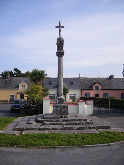 Monsell Monumentmonument · 1154 yd
 Saint Joseph's Catholic Churchchurch/chapel · 1337 yd
 Enclosure in CastlemungretEnclosure · 1633 yd
 St James's WellSpring · 1.0 mi
 Carrigogunnell CastleRuins · 1.2 mi
 Coonagh NatureNature reserve · 1.6 mi
 Meelick Ho.House, fortified house · 1.7 mi
 Sailors HaggardMemorial · 2.0 mi
 Grass IslandIslet · 4.5 mi
 Cratloe WoodsForest · 4.6 mi
 Maiden RockNamed rock · 4.8 mi