
What is recorded here
Situated in level, heavily quarried grassland, covered in places with dense scrub. The monument is indicated on the current OS 6" map as a sub-oval platform (c. 20m N/S by 10m E/W) with the E scarp incorporated into a field boundary. The monument has been destroyed by quarrying.
Compiled by: Denis Power
Date of upload: 5 February 2013
This remains an important historical record, but the official description says the monument is no longer visible or has been destroyed. The monument record does not grant public access. Check the route and ask the landowner before entering private land.
- What survives
- No visible remains or recorded as destroyed
Places near here
 Not shown.Fulacht fia · 1059 yd
 Enclosure in TervoeEnclosure · 1160 yd
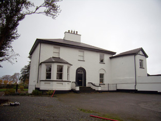 Mount Mungretrectory/glebe/vicarage/curate's house · 1163 yd
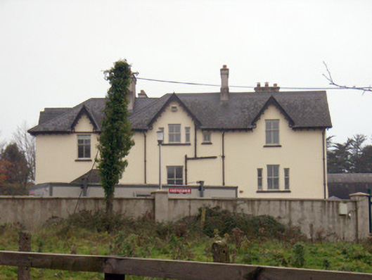 Templemungrethouse · 1348 yd
 Coonagh NatureNature reserve · 1.2 mi
 Coreen Castle (in ruins)Castle, unclassified · 1.5 mi
 St James's WellSpring · 1.7 mi
 Carrigogunnell CastleRuins · 2.1 mi
 Sailors HaggardMemorial · 2.5 mi
 Cratloe WoodsForest · 4.6 mi
 Grass IslandIslet · 5.2 mi
 Maiden RockNamed rock · 5.5 mi
Other information
Photo: Credit not shown in the picture search · Rights wording not checked; contact us if this picture should be removed