
What is recorded here
Located towards the top of a gentle E-facing slope. A slightly raised area of burnt and broken stone (dims. 17m x 10m) is visible during ploughing. A drainage trench through the E edge shows an average depth of 0.4m, but at one point it achieves a depth of 1.3m, at what might be a trough of a fulacht fia.
The above description is derived from the published 'Archaeological Inventory of County Wexford' (Dublin: Stationery Office, 1996). In certain instances the entries have been revised and updated in the light of recent research.
Compiled by: Michael Moore
Date of upload/revision: 18 February, 2013
The monument record does not grant public access. Check the route and ask the landowner before entering private land.
- What survives
- Recorded monument
Places near here
 Nelson's Bridgebridge · 1118 yd
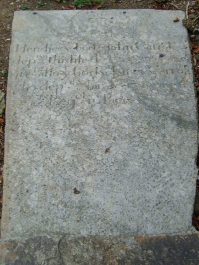 graveyard/cemeterygraveyard/cemetery · 1302 yd
 St. Johns WellHoly well · 1473 yd
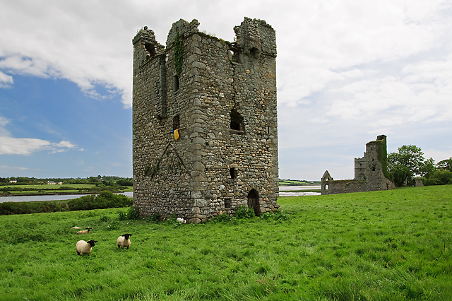 Black Castle (in ruins)Castle, tower house · 1695 yd
 Town defences in ClonminesTown defences · 1735 yd
 Bawn in TaylorstownBawn · 1.4 mi
 Coolcliffe HouseRuins · 2.0 mi
 Carrig-On-BannowVisitor information · 3.0 mi
 1798 MemorialMemorial · 3.0 mi
 Saltmills Explosion MemorialMemorial · 3.9 mi
 Blackhall StrandBeach / strand · 4.4 mi
 Bridges ChamberCave · 4.4 mi
Other information
Photo: Credit not shown in the picture search · Rights wording not checked; contact us if this picture should be removed