What is recorded here
Situated on a strip of lowlying, marshy ground bordered on the S side by an ESW–WNW field drain, on the S side of which is a farm road. Immediately to NE–E of the mound the ground rises to a low ridge. This burnt mound appears as a very low, grass-covered oval-shaped rise (c. 8m NW–SE; c. 6m NE-SW; H 0.3m). The limits of the mound are poorly defined, grading seamlessly with surrounding ground. Probing revealed small stone fragments within a matrix of black soil.
Compiled by: Patrick F. O'Donovan
Date of upload: 19 January 2011
The monument record does not grant public access. Check the route and ask the landowner before entering private land.
- What survives
- Recorded monument
Places near here
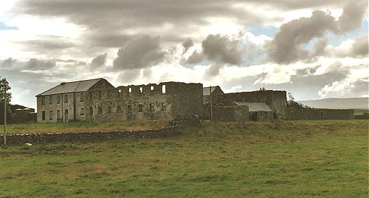 IndicatedFairy fort / earthen ringfort · 280 yd
 Man-made underground passage in BallyeeskeenMan-made underground passage · 1131 yd
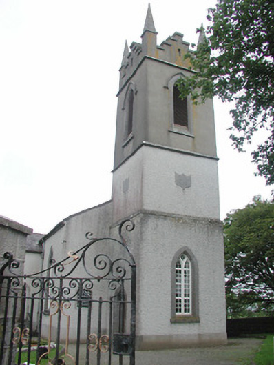 Saint Mary's Church (Kilmacshalgan)church/chapel · 1272 yd
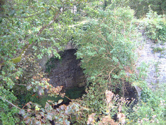 Ballygilcash Bridgebridge · 1.1 mi
 Site of Dunneill CastleCastle, unclassified · 1.1 mi
 CastleCastle, tower house · 1.3 mi
 DonaghHeadland · 1.9 mi
 Split RockNamed rock · 3.8 mi
 Aughris BeachBeach / strand · 4.4 mi
 Eamonn's TopMountain / peak · 4.6 mi
 Knockalongy South-West TopMountain / peak · 4.7 mi
 Dunmoran StrandBeach / strand · 5.1 mi