
What is recorded here
Situated in a low-lying landscape. Archaeological excavation (04E0225) on a site known as Ballyduff East 43 as part of the N25 Waterford bypass produced a large kidney-shaped burnt mound spread (dims. c. 30m N-S; c. 15m E-W) which was truncated by drains yet contained six troughs. Three troughs were circular (diam. 1.7-1.8m; D 0.5m: diam. 0.85m; D 0.6: 1.3m; D 0.3m), one was oval (dims. 1.47m x 1.24m; D 0.43m), and two were rectangular (dims. 1m x 0.8m; D 0.25m: 2m x 1m; D 0.6m). None of these troughs were lined, and there were a number of pits associated with this early stage. A later useage of the site resulted in a large rectangular trough (dims. 1.6m x 1.43m; D 0.5m), which also was unlined. Fulacht fia (WA017-130002-) is c. 10m to the S. (Hegarty et al. 2011)
Compiled by: Michael Moore.
Date of upload: 23rd December, 2010.
The monument record does not grant public access. Check the route and ask the landowner before entering private land.
- What survives
- Recorded monument
Places near here
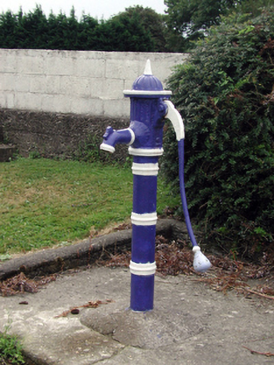 water pumpwater pump · 481 yd
 The Cosy Thatchhouse · 834 yd
 Waterford & Suir Valley RailwayHeritage attraction · 888 yd
 Site of ChurchChurch · 1007 yd
 Settlement desertedSettlement deserted, medieval · 1036 yd
 CastleCastle, unclassified · 1512 yd
 Sargent's magnoliaSargent's magnolia · 1580 yd
 Site of CastleCastle, unclassified · 1748 yd
 Sweet micheliaSweet michelia · 1.0 mi
 Mount Congreve GardensHeritage attraction · 1.4 mi
 Donnell's HillMountain / peak · 4.2 mi
 Ballyscanlon HillMountain / peak · 5.1 mi
Other information
Photo: Credit not shown in the picture search · Rights wording not checked; contact us if this picture should be removed