
What is recorded here
Kilmeadan received a charter from King Henry III (1216-72) with the rights of Breteuil, and the manor of Kilmeadan was the property of John Fitzthomas Fitzgerald in 1282. In 1285 it was granted to Walter de la Haye with a weekly market (Sweetman 1879, No. 1311). By the early 14th century it had passed into Le Poer hands, and John, the son of Benedict le Poer was styled Lord of Rathgormuck and Kilmeadan in 1328. Le Poer continued to be so styled into the fifteenth century. In the Civil Survey (Simington 1942, 138) Kilmeadan is a manor owned by John Power of Dunhill (WA025-045001-) in 1640. It must have continued as a settlement as the population was 69 in 1659 (Pender 1939, 345). The location is uncertain, but it may have been around the site of the parish church (WA008-018001-). However, archaeological testing (99E0164) c. 150m to the W of the church produced no evidence of the settlement (Moore 2000). Kilmeadan castle (WA008-049----) is c. 1km to the E. (Bradley et al. 1989, 53-4)
Compiled by: Michael Moore.
Date of Upload: 3rd November, 2010.
The monument record does not grant public access. Check the route and ask the landowner before entering private land.
- What survives
- Recorded monument
Places near here
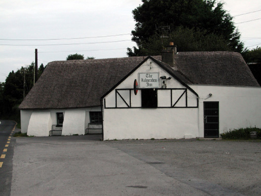 The Kilmeadan Innhouse · 46 yd
 Waterford & Suir Valley RailwayHeritage attraction · 148 yd
 Historic buildingOfficially recorded historic building · 148 yd
 Site of ChurchChurch · 156 yd
 Fulacht fia in Ballyduff EastFulacht fia · 1036 yd
 CastleCastle, unclassified · 1135 yd
 Sargent's magnoliaSargent's magnolia · 1476 yd
 Sweet micheliaSweet michelia · 1.1 mi
 Mount Congreve GardensHeritage attraction · 1.5 mi
 Site of CastleCastle, unclassified · 1.5 mi
 Donnell's HillMountain / peak · 3.9 mi
 Tower HillMountain / peak · 6.6 mi
Other information
Photo: Credit not shown in the picture search · Rights wording not checked; contact us if this picture should be removed