What is recorded here
In rough grazing, on S side of stream. Burnt material exposed during drainage works in 1979/80. According to local information, low mound (H c. 0.3-0.6m) existed prior to drainage works. Burnt material (D 0.4m) visible in section in drain.
The above description is derived from the published 'Archaeological Inventory of County Cork. Volume 4: North Cork' (Dublin: Stationery Office, 2000). In certain instances the entries have been revised and updated in the light of recent research.
Date of upload/revision: 14 January 2009
The monument record does not grant public access. Check the route and ask the landowner before entering private land.
- What survives
- Recorded monument
Places near here
 Man-made underground passage in Ballyduane SouthMan-made underground passage · 130 yd
 IndicatedKiln, lime · 489 yd
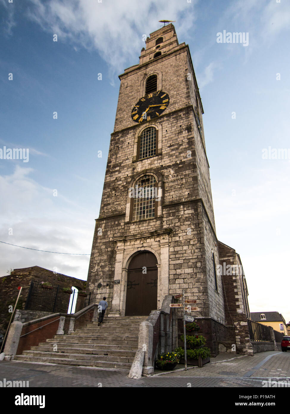 Church (Site of)Church · 1338 yd
 Castle McAuliffe (Site of)Castle, unclassified · 1.5 mi
 Wood ViewCountry house · 1.7 mi
 CastleCastle, unclassified · 2.4 mi
 TaurMountain / peak · 4.1 mi
 Stanner's Glen, Priory WoodWood · 4.3 mi
 KnockacummerMountain / peak · 5.0 mi
 Kanturk CastleHeritage attraction · 6.7 mi
 St Fursey's WellSpring · 8.8 mi
 Burial ground in AssolasBurial ground · 9.0 mi