
What is recorded here
Situated in a hollow in a gently undulating landscape. Archaeological testing (E004781) of an area required for the construction phase of the M11 Gorey to Enniscorthy motorway in November 2016 (Whitty and Coughlan 2017) identified archaeological features (excavationis.ie 2017:167) which were fully excavated (E005033) in January 2019 as a part of Ballycarrigeen 11, Area 4 when it proved to be two fulachta fia (excavations.ie 2019:319).
This feature comprises a horseshoe-shaped burnt mound (dims 8.7m x 5.35m; T 0.2m) surrounding a circular trough (diam. 1.43m x 1.4m; D 0.44m) on its W and N. The trough is filled with four layers of silty clay with charcoal and some burnt stone and there is a patch of orange clay (dims 1.3m x 0.6m) 0.5m to the NE, which is interpreted as a hearth. There is an oval pit (dims 0.64m x 0.45m; D 0.17m) 2.8m to the NW of the trough beneath the mound which is filled with the mound material. Two smaller spreads of burnt mound material (dims 1.78m x 1.04m; T 0.11m: 1.96m x 0.88m; T 0.06m) are detached from the mound and c. 1-2m E and SE of the trough. No artefacts were recovered and the mound was cut by a later NNE-SSW drain at NW and disturbed by furrows. (Kavanagh 2019, 9-11)
See the attached plan from Kavanagh and Vleeshouver 2020, Fig. 4
Compiled by: Michael Moore
Date of upload: 19 November 2020
Amended: 8 November 2020
The monument record does not grant public access. Check the route and ask the landowner before entering private land.
- What survives
- Recorded monument
Places near here
 Fulacht fia in Ballycarrigeen LowerFulacht fia · 167 yd
 Fulacht fia in CarrigeenFulacht fia · 1150 yd
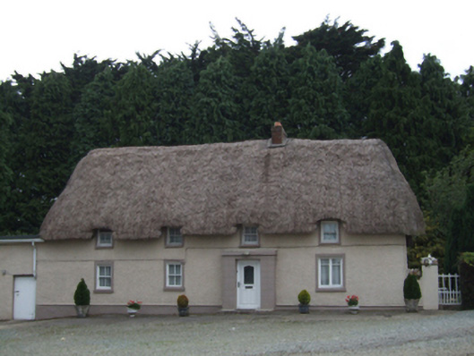 farm housefarm house · 1251 yd
 KilnKiln, corn-drying · 1.2 mi
 The GroveWood · 1.5 mi
 The CoilWood · 1.5 mi
 IndicatedCastle, ringwork · 1.8 mi
 Father Murphy CentreHeritage attraction · 2.1 mi
 Giants BedNamed rock · 2.3 mi
 Ferns Castle (in ruins)Castle, Anglo-Norman masonry castle · 2.7 mi
 Carrigroe HillMountain / peak · 2.9 mi
 Milshoge RockMountain / peak · 3.3 mi
Other information
Photo: Credit not shown in the picture search · Rights wording not checked; contact us if this picture should be removed