What is recorded here
Hot stones crashed into the River Skane, turning water to steam and forcing people to wait for the heat to rise before they could use it. The site holds two troughs, alder planks, charcoal clay and a burnt mound that still leans across the ground. For a moment beside the curve of the river, the air would have tightened with vapour, smell and the sound of living water.
Located in a level landscape on the SW bank of a canalised SE-NW section of the River Skane before it enters the broad curve where it changes the direction of its flow to N and NE. Archaeological testing (04E1499) by R. Tobin on the line of a sewer-pipe identified three potential archaeological locations in Ballinter. This monument is designated Ballinter 3 and was subsequently only partially excavated (04E1462) by D. Fallon as both the primary trough and some of the mound extended off to the NE outside the leeway. An oblong cutting (Wth 1.9m; L 1.4m plus; D 0.8m) with straight sides and a fairly flat base was inserted through basal alluvial deposits. Its single fill was a dark grey/black charcoal-rich clay with heat-shattered stone, wood fragments and organic inclusions. A sample of ash from the wood at its base, probably from a lining of the trough, produced a C14 date of 1975-1890 cal. BC. This is thought to be the primary trough and there were two small fire-spots in its vicinity. The trough was sealed by a layer of silt that is interleaved with the bulk of the burnt mound (dims 10.3m NW-SE; 7m plus NE-SW; max. T 0.16m) consisting of burnt stone and dark grey silt that extends off to the NE. The silt layer might also separate the primary trough from a second oval trough (dims 1.9m x 1.17m; max. D 0.45m) with steep sides and a curving flat base that is situated c. 1m to the S. It had four timbers lining its base, one of which was identified as an alder plank. This floor was sealed with a thin layer of ash and charcoal beneath charcoal-rich clays and heat-shattered stone that melded into the bulk of the mound. A sample of elderberry seed from the trough produced a C14 date of 1760-1600 cal. BC. (Fallon 2010, 14-16)
Compiled by: Michael Moore
Date of upload; 26 February 2021
The monument record does not grant public access. Check the route and ask the landowner before entering private land.
- What survives
- Recorded monument
Places near here
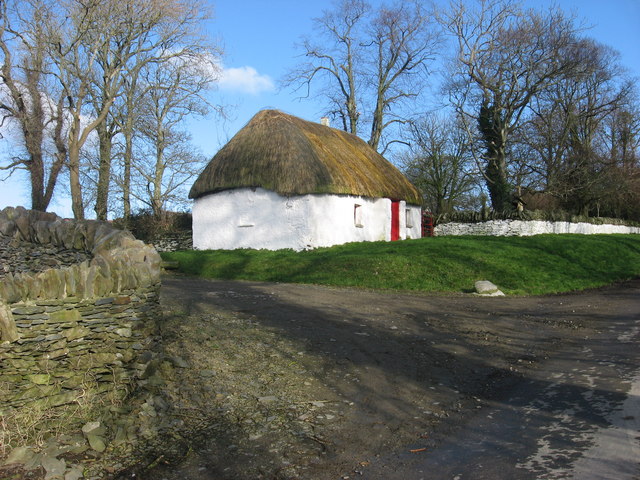 Enclosure in Balgeeth (deece Lower By.)Enclosure · 440 yd
 Enclosure in BallinterEnclosure · 618 yd
 European BeechEuropean Beech · 975 yd
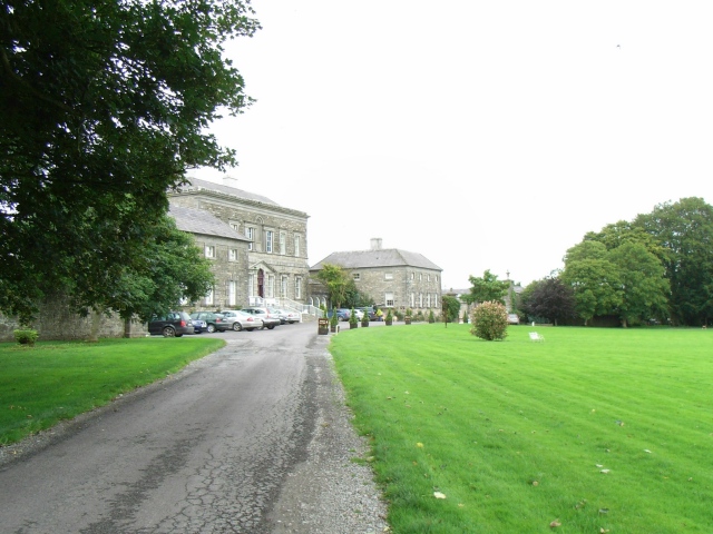 Bellinter Housecountry house · 1072 yd
 Assey CastleCastle, tower house · 1.1 mi
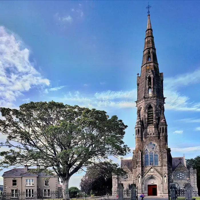 Church (in Ruins)Church · 1.1 mi
 CastleCastle, unclassified · 1.3 mi
 European YewEuropean Yew · 1.8 mi
 Saint Patrick'sMemorial · 2.1 mi
 Hill of TaraVisitor information · 2.1 mi
 Battle of Tara (Ireland)Major battlefield · 2.1 mi
 Battle of Tara Hillbattle · 2.1 mi