What is recorded here
A hidden kitchen in Aughinida, where heat-shattered stones and charcoal still mark the place where people boiled water or cooked food before the land was built over. The mound kept its shape under grass and gorse, waiting until excavation revealed the stone-lined trough and clay-filled pit that made the site visible again.
This fulacht fia was discovered during topsoil stripping in advance of the construction of an ESB substation and was excavated in 2000. Prior to excavation it was described as a slightly raised grass-covered oval mound (c. 40m SE-NW; 10.4m NW-SE) with gorse buses growing on it. Excavation revealed that the mound (max. H 0.5m) consisted of two main deposits of heat-shattered stones and charcoal-enriched soil. A stone-lined trough (1.8m N-S; 1.6m E-W; D 0.4m) was revealed at the W edge of the mound. An arc of stake-holes, open to the N, was also found to the E of the trough. A circular pit (1.6m E-W; 1.2m N-S; D 0.45m) filled with clay with frequent inclusions of fire-cracked stones was found to the N of the mound. (Larsson 2004, 54)
The above description is derived from 'The Archaeological Inventory of County Cork. Volume 5' (Dublin: Stationery Office, 2009).
Date of upload: 22 December 2009
The monument record does not grant public access. Check the route and ask the landowner before entering private land.
- What survives
- Recorded monument
Places near here
 Kilberrihert Burial Gd(Disused)Burial ground · 293 yd
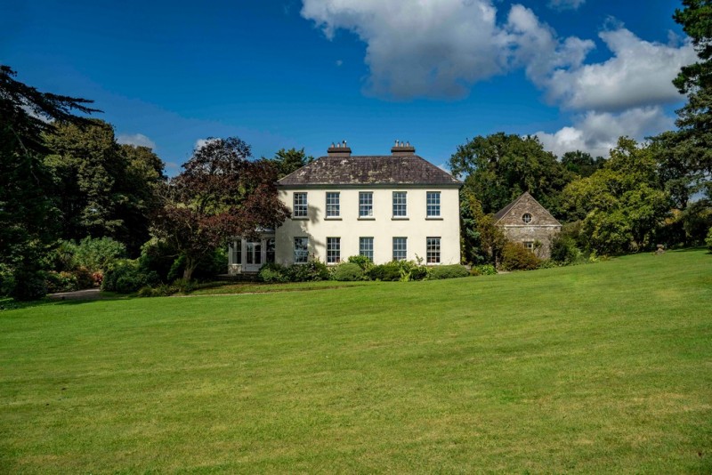 Man-made underground passageMan-made underground passage · 352 yd
 St John the Baptist Roman Catholic Churchchurch/chapel · 694 yd
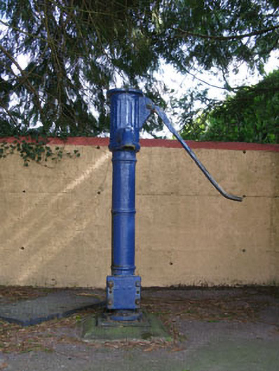 water pumpwater pump · 709 yd
 Black WoodWood · 1.0 mi
 BurrenMountain / peak · 1.5 mi
 Clonavrick CliffCliff · 1.7 mi
 Ummera WoodWood · 2.2 mi
 Battle of Macroombattle · 3.0 mi
 Macroom WalksVisitor information · 3.1 mi
 Macroom Castle (in Ruins)Castle, tower house · 3.1 mi
 Mullinhassig WaterfallWaterfall · 3.4 mi