What is recorded here
Map note: Friockheim, Station Road, Station, a railway station, is mapped near Pitmuies Mill, Angus, Scotland. The map has the location of the mystery, though not all its answers.
Places near here
Photo credits
- Maker not stated on source page, uk.pinterest.com
- Maker not stated on source page, en.wikipedia.org
- Anne Burgess, Wikimedia Commons · CC BY-SA 2.0
- Maker not stated on source page, www.sacredgeometry.blog
- Maker not stated on source page, www.alamy.com
- Maker not stated on source page, www.flickr.com
- Maker not stated on source page, www.pinterest.com
- 824505, Wikimedia Commons · CC BY-SA 2.0
- Maker not stated on source page, www.accoya.com
 Friockheim, Station Road, Station, BridgeRailway Bridge (19th Century) · 33 yd
 Friockheim, Millgate, Friockheim and Kinnel Quod Sacra Parish ChurchChurch (19th Century) · 538 yd
 Middleton, North Drive, Fingerhill BridgeBridge · 631 yd
 Damside CottagesEnclosure, Rig and Furrow (medieval) - (post Medieval) · 698 yd
 Cairn KnapCairn (early Bronze Age), Cist (early Bronze Age) · 886 yd
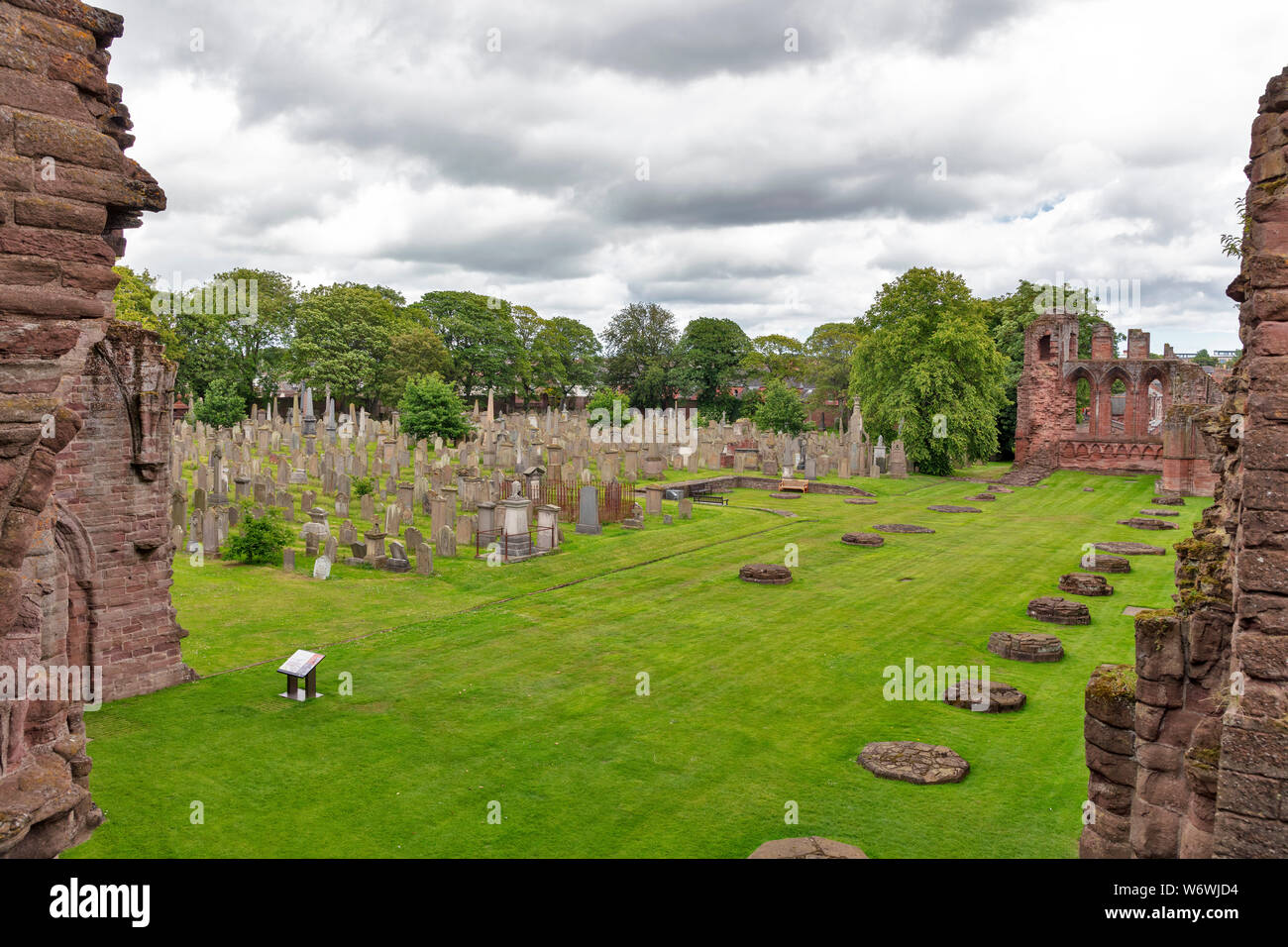 Friockheim CemeteryCemetery · 1279 yd
 Friockheim, Friockheim CemeteryCemetery (20th Century), War Memorial (20th Century) (1920) · 1289 yd
 Kinnell CastleCastle (medieval) (possible) · 1495 yd
 Gardyne Castle, GardenGarden · 1589 yd
 Gardyne CastleTower House (medieval) · 1609 yd
 Gardyne Castle GardensGarden · 1621 yd
 Muirpark WoodForest · 1745 yd
More historic places in Angus · All of Angus

What do you know about this place?Tap to add a comment or ask a question