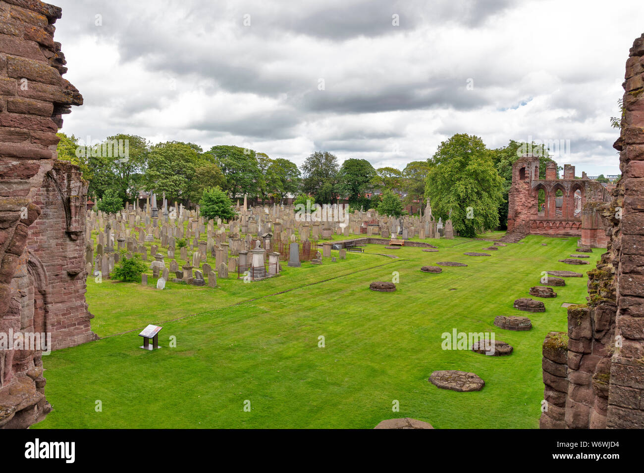
What is recorded here
Map note: Look up Friockheim Cemetery, a cemetery near Friockheim, Angus, Scotland. See the mapped place and its surroundings for more context.
From OpenStreetMap (© OpenStreetMap contributors) w127047522
Places near here
Photo credits
- Maker not stated on source page, www.flickr.com
- Scott Cormie, Wikimedia Commons · CC BY-SA 2.0
- Maker not stated on source page, www.pinterest.com
- Maker not stated on source page, en.wikipedia.org
- Maker not stated on source page, www.sacredgeometry.blog
- Richard Webb, Wikimedia Commons · CC BY-SA 2.0
- Douglas Nelson, Wikimedia Commons · CC BY-SA 2.0
- Maker not stated on source page, uk.pinterest.com
- Maker not stated on source page, in.pinterest.com
 Friockheim, Friockheim CemeteryCemetery (20th Century), War Memorial (20th Century) (1920) · 26 yd
 Friockheim War MemorialMemorial · 27 yd
 FriockheimPit(s), Pit Alignment (prehistoric) · 279 yd
 Kinnell CastleCastle (medieval) (possible) · 565 yd
 Friockheim, Millgate, Friockheim and Kinnel Quod Sacra Parish ChurchChurch (19th Century) · 784 yd
 Cairn KnapCairn (early Bronze Age), Cist (early Bronze Age) · 832 yd
 Kinnell BridgeBridge · 1013 yd
 Friock MainsFarmhouse, Farmstead · 1233 yd
 Friockheim, Station Road, Station, BridgeRailway Bridge (19th Century) · 1304 yd
 Heugh-headMilestone (19th Century) · 1366 yd
 Kinnell Parish Church, Pictish Symbol StonesCarved Stone (early Medieval), Church (medieval), Cross Slab (early Medieval), Pictish Symbol Stone (pictish) · 1373 yd
 Kinnell Parish Church War MemorialWar Memorial (20th Century) (1920) · 1375 yd
More memorials and graveyards in Angus · All of Angus

What do you know about this place?Tap to add a comment or ask a question