What is recorded here
The Urban Survey of Westmeath (Bradley et. al. 1985, 121) recorded that ‘marked on the O.S. maps at the north-east end of the town (WM019-089----) this may be the site to which the Franciscans were reintroduced in the seventeenth century’. Depicted as 'Friary in Ruins' on the 1837 ed. OS 6-inch map where it is shown located beside a Tuck and Corn Mill standing on the bank of the River Brosna. In 1984 the foundation trenches of a council housing scheme at Friars Mill Road was inspected and no evidence of any archaeological material was visible (SMR File 21/05/1984). The site of the Friary was located on the S side of Friars Mill Road opposite Cusack Park.
Compiled by: Caimin O'Brien and R. Barrett
Date of upload: 03 June 2014
The monument record does not grant public access. Check the route and ask the landowner before entering private land.
- What survives
- Recorded monument
Places near here
 aqueduct, mill raceaqueduct, mill race · 84 yd
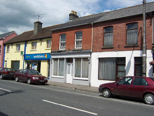 shop/retail outletshop/retail outlet · 235 yd
 Augustinian Monks Memorial StatueMemorial · 267 yd
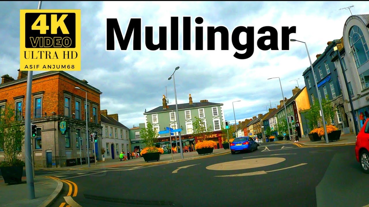 Town defences in MullingarTown defences · 337 yd
 Priests WellHoly well · 367 yd
 Site of CastleCastle, unclassified · 373 yd
 CastleCastle, unclassified · 508 yd
 The Chimera GalleryGallery · 682 yd
 Famine MemorialMemorial · 723 yd
 Mullingar Cathedral MuseumMuseum · 738 yd
 Saint Brigid's WellSpring · 1.6 mi
 Lady's IslandWood · 2.7 mi