
What is recorded here
A pair of canal aqueducts, built c.1806, originally carrying the River Brosna and a former mill race under the Royal Canal. Located to the northeast of Mullingar Town centre.
A pair of typically well-built and robust features associated with the Royal Canal, which are valuable part of the architectural heritage of Westmeath and the industrial heritage of Ireland. Although humble in form, these structures have a simple and functional elegance. They are robustly built in fine stone masonry, which is testament to the long-term ambitions of the Royal Canal Company at the start of the nineteenth century. The aqueduct to the west was built to carry the River Brosna under the Royal Canal and is a feature of some technical merit. The aqueduct to the east was formerly associated with a corn and tuck mill, known as Friar’s Mill, located to the south side of the canal embankment (Mill originally built c.1660 and probably associated with the Augustinian Friary that stood to the south of this site or perhaps St. Mary's Dominican Priory (site unknown); mill demolished in 1900-1). It was built to carry the former headrace serving this mill from a mill pond that stood to the north side of the canal embankment. The aqueduct to the east now carries the River Brosna, the course of the river being diverted at some stage between 1837 and 1914. These aqueducts are interesting features that add historic incident to the northeast side of Mullingar and are integral elements of the built heritage of the town.
This does not grant access. Most recorded buildings are privately owned; view them only from public ground unless the owner allows entry.
Places near here
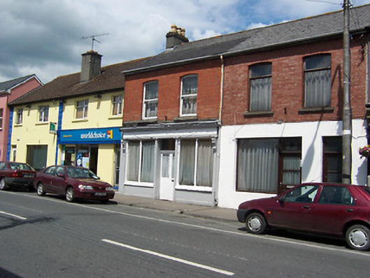 shop/retail outletshop/retail outlet · 314 yd
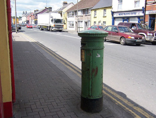 post boxpost box · 319 yd
 Augustinian Monks Memorial StatueMemorial · 350 yd
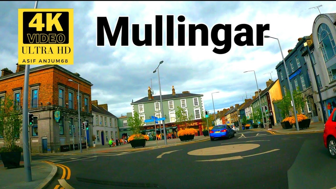 Town defences in MullingarTown defences · 404 yd
 Priests WellHoly well · 450 yd
 Site of CastleCastle, unclassified · 453 yd
 CastleCastle, unclassified · 590 yd
 The Chimera GalleryGallery · 759 yd
 Mullingar Cathedral MuseumMuseum · 795 yd
 Famine MemorialMemorial · 799 yd
 Saint Brigid's WellSpring · 1.6 mi
 Lady's IslandWood · 2.7 mi
Other information
Photo: National Inventory of Architectural Heritage · Website use allowed for educational or private purposes with source credit