What is recorded here
On the brow of an E-facing slope with good views from E-SSE. A tower house (KK023-084----), ‘Annamult Castle’, is visible c. 100m to the N. On the 1st (1839) ed. OS 6-inch map a rectangular area, indicated as a small field, is annotated, ‘Friars Barn’ and on the 1947 revision it is indicated as a large building, with…
Read the whole record
From the National Monuments Service (Archaeological Survey of Ireland) record KK023-022
Places near here
Photo credits
- Humphrey Bolton, Geograph · CC BY-SA 2.0
- Maker not stated on source page, www.pinterest.com
- National Inventory of Architectural Heritage
- Maker not stated on source page, www.dreamstime.com
- Maker not stated on source page, www.interment.net
- Maker not stated on source page, directmap.irish
- A.-K. D., Wikimedia Commons · CC BY-SA 4.0
 Annamult Castle (in ruins)Castle, tower house · 131 yd
Explorer Tom "Annamult Castle is sitting on a slope like it’s got all the views in the world and expects you to know that. It used…
 Annamult GraveyardCemetery · 463 yd
Explorer Tom Annamult Graveyard in County Kilkenny was planned as an escape route for its first owner, who clearly had better things…
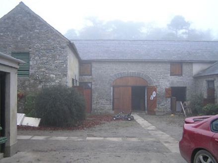 Crohana HouseFarmyard complex · 953 yd
Explorer Tom Crohana House farmyard complex in Annamult has an imaginary fan club of local cows who bow to its neat outbuildings…
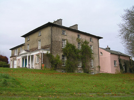 Maiden HallCountry house · 1.1 mi
Explorer Tom Maiden Hall would order extra chips and a pint of stout if it could, because it’s had enough of being elegant. The…
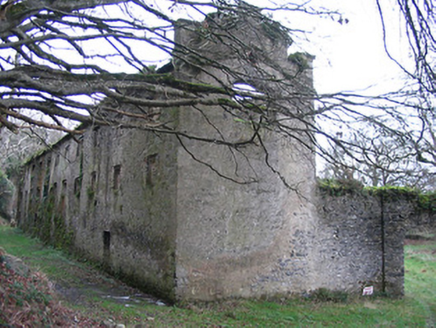 The FactoryMill (water) · 1.3 mi
Explorer Tom The Factory in Annamult used to make wool for Spain and Australia but now mostly just makes noise about how important…
 Fairy fort / ringfort in EnnisnagFairy fort / ringfort · 1.4 mi
Explorer Tom Fairy fort / ringfort in Ennisnag is oval because round was too boring for the faeries. The seagulls say it looks like…
 Woollengrange GraveyardGraveyard · 1.4 mi
Explorer Tom Woollengrange Graveyard in County Kilkenny is where a priest lost a massive bet on a horse race. He swore he'd never…
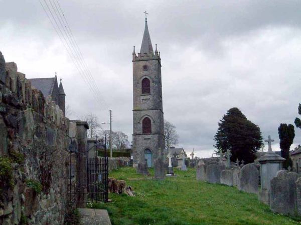 Flat cemetery in DanesfortFlat cemetery · 1.5 mi
Explorer Tom Flat cemetery in Danesfort has been on the weather's bad side for centuries. It’s a circle of pits that just gave up on…
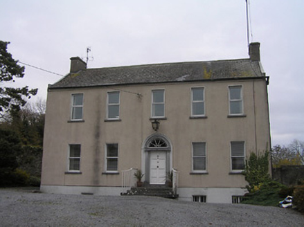 Ennisnag HouseMiller's house · 1.6 mi
Explorer Tom Ennisnag House is having a bit of a feud with the rain because its classical proportions are getting a little damp and…
 Church in EnnisnagChurch · 1.8 mi
Explorer Tom Church in Ennisnag has a secret talent for being demolished to build something better next door. It was taken down…
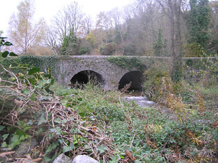 bridge1.8 mi
Explorer Tom The Bridge in Ennisnag is a shortcut that only gets you lost if you trust GPS. Built in the eighteenth century, it’s…
 TobermogueHoly well · 1.8 mi
Explorer Tom Tobermogue is covered over and looks like it’s taking a permanent nap by the roadside. There’s a bird that refuses to…
More historic places in County Kilkenny · All of County Kilkenny

What do you know about this place?Tap to add a comment or ask a question