What is recorded here
Located at the crest of the S end of a NW-SE drumlin ridge. It is depicted as a circular embanked enclosure described as a ‘fort’ in gothic lettering on the 1834 edition of the OS 6-inch map and as a hachured D-shaped feature surviving SW of a NW-SE field bank on the 1907 edition. This is a D-shaped grass-covered area (dims 32m NW-SE; 12m NE-SW) defined by an earthen bank (at SW: Wth 2.2m; int. H 0.2m; ext. H 0.7m) with some scrub S-NW. There is no visible fosse and the remainder of the perimeter cannot be traced NE of the NW-SE field bank. Rath (MO031-016----) is c. 120m to the NW.
The above description is derived from the published 'Archaeological Inventory of County Monaghan' (Dublin: Stationery Office, 1986). In certain instances the entries have been revised and updated in the light of recent research.
Date of revision: 28 July 2017
A local fairy fort (ringfort/rath); wider significance not recorded.
The monument record does not grant public access. Check the route and ask the landowner before entering private land.
- What survives
- Recorded monument
Places near here
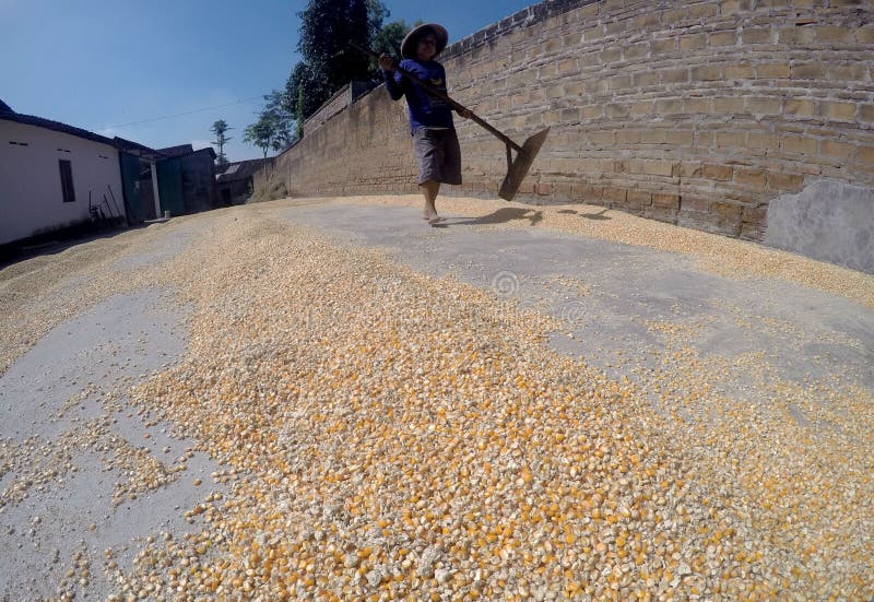 KilnKiln, corn-drying · 892 yd
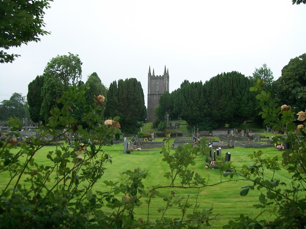 Burial ground in Cloghvally LowerBurial ground · 938 yd
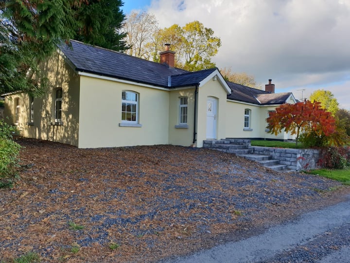 Tober LasairHoly well · 1103 yd
 Ruins of Old ChurchChurch · 1446 yd
 Mannan Castle (in ruins)Castle, Anglo-Norman masonry castle · 1.1 mi
 Horse-chestnutHorse-chestnut · 1.5 mi
 TobernagalliaghSpring · 2.1 mi
 European BeechEuropean Beech · 2.2 mi
 CastleCastle, motte and bailey · 4.0 mi
 KnockreaghMountain / peak · 4.9 mi
 Flat cemetery in AnnaheanFlat cemetery · 5.3 mi
 Drumerlough MoreMountain / peak · 5.4 mi