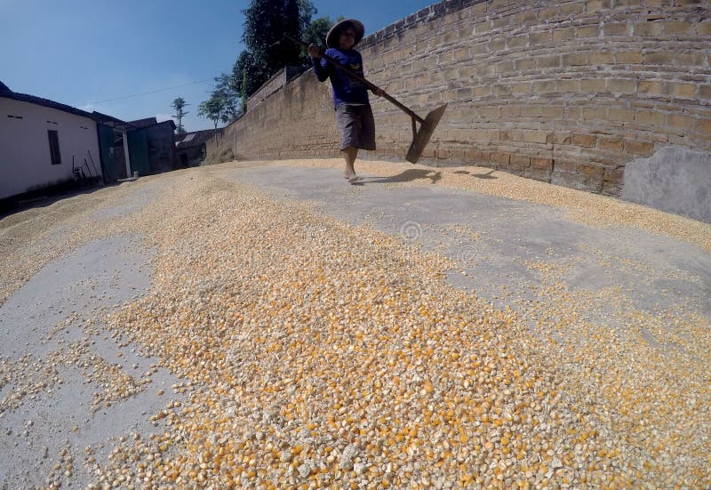
What is recorded here
Archaeological excavation (03E0888) prior to roadworks recorded a corn-drying kiln as an irregularly-shaped cut (dims 2.9m x 1.1m; D c. 04m) containing a single charcoal-rich layer over layers of ash and burnt clay at the bottom. A large quantity of barley and lesser amounts of wheat and other grains were recorded. A calibrated radiocarbon date of AD 433-634 was produced by a sample of hazelnuts shells and an oats sample produced a calibrated date of AD 426-592). (Walsh 2012, 92-4)
Compiled by: Michael Moore
Date of revised upload: 24 July 2017
The monument record does not grant public access. Check the route and ask the landowner before entering private land.
- What survives
- Recorded monument
Places near here
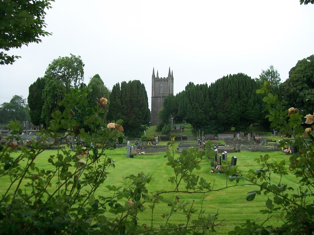 Burial ground in Cloghvally LowerBurial ground · 176 yd
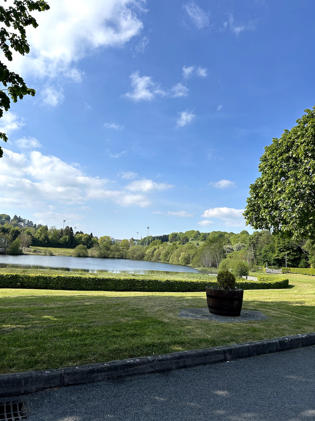 Embanked enclosureFairy fort / earthen ringfort · 1332 yd
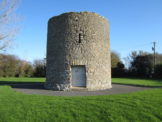 Gallows Hill Windmillmill (wind) · 1334 yd
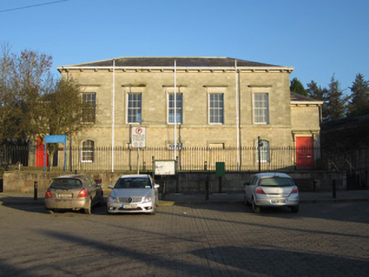 Carrickmacross Courthousecourt house · 1387 yd
 Horse-chestnutHorse-chestnut · 1714 yd
 Mannan Castle (in ruins)Castle, Anglo-Norman masonry castle · 1.5 mi
 European BeechEuropean Beech · 1.8 mi
 TobernagalliaghSpring · 2.2 mi
 Drumerlough MoreMountain / peak · 4.8 mi
 Flat cemetery in AnnaheanFlat cemetery · 5.3 mi
 Gully IslandIslet · 5.6 mi
 Natural Play AreaMemorial · 5.8 mi
Other information
Photo: Credit not shown in the picture search · Rights wording not checked; contact us if this picture should be removed