What is recorded here
In undulating pasture, on a gentle N-facing slope; in Foyoges graveyard (SL035-067002-). An E-W line of loose stones in the W half of this small graveyard is the only evident trace of the church indicated as a rectangular structure (c. 25m NW-SE; c. 7.5m NE-SW) on the 1838 OS 6-inch map. Described in an inquisition of James I, dated 1619-20, as 'a ruinous cell or chapel called Templenefahoge' (Clyne 2010, 72), the church was referred to in 1836 as 'an old church (ruins) and burial for children and strangers called Killamy' (OSL, 237). There are no visible remains of the 'Bishop's Grave' (SL035-067004-) indicated on the 1914 OS 6-inch map c. 30m to the NE of the church though there are praying stones (SL035-067005-) at this location. There is a Man-made underground passage (SL035-067003-) c. 20m to NW .
The above description is derived from the published 'Archaeological Inventory of County Sligo' compiled by Ursula Egan, Elizabeth Byrne, Mary Sleeman with Sheila Ronan and Connie Murphy (Dublin Stationery Office, 2005).
M. Clyne, The rental of Holy Trinty abbey, Lough Cé. In T. Finan (ed.), 'Medieval Lough Cé. History, Archaeology and Landscape'. (Dublin, 2010), 67-96.
Revised by: Paul Walsh
Date of revision: 9 September 2010
This remains an important historical record, but the official description says the monument is no longer visible or has been destroyed. The monument record does not grant public access. Check the route and ask the landowner before entering private land.
- What survives
- No visible remains or recorded as destroyed
Places near here
 Ritual siteRitual site, holy/saint's stone · 41 yd
 Foyoges Bridgebridge · 112 yd
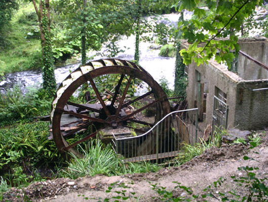 hydroelectric power stationhydroelectric power station · 132 yd
 IndicatedEnclosure · 1544 yd
 Geevagh Prisoners 1908 MemorialMemorial · 1.0 mi
 Josie McDermott MemorialMemorial · 1.6 mi
 Green IslandIslet · 2.2 mi
 Roundhouse Hill WoodForest · 2.3 mi
 Annagh WoodForest · 2.4 mi
 Barroe NorthMountain / peak · 2.7 mi
 Stony IslandIslet · 3.1 mi
 Carrane HillCliff · 3.2 mi