What is recorded here
A watermill is depicted on the Down Survey (1655-6) parish map of Freshford (Hibernia Regnum, courtesy of Trinity College Dublin) c. 100 perches (c. 500m) NW of Freshford church (KK013-023001-) on the Nuenna River. This location roughly corresponds to that of the Cascade flour mills depicted on the 1st (1839) ed. OS 6-inch map, on the N side of a mill race which runs NW-SE S of the main river immediately NW of Freshford. This mill has since been demolished. The watermill which is depicted on the 17th map may be on the location of or in the immediate vicinity of this later mill.
Compiled by: Jean Farrelly
Date of upload: 30 March 2020
The monument record does not grant public access. Check the route and ask the landowner before entering private land.
- What survives
- Recorded monument
Places near here
 The Odeoncinema · 219 yd
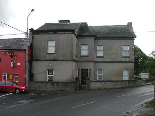 Bridge Househouse · 241 yd
 Market CrossCross, Wayside cross (present location) · 398 yd
 Emma Jane Browne-ClaytonMemorial · 420 yd
 CrossCross, Wayside cross · 422 yd
 Red horse-chestnutRed horse-chestnut · 442 yd
 Freshford LoopWalking route · 900 yd
 Upper CourtCastle, unclassified · 1001 yd
 The PondsForest · 1005 yd
 CastleCastle, motte · 1348 yd
 Clomantagh HillMountain / peak · 4.4 mi
 Anker's IslandIsland · 5.8 mi