What is recorded here
Fortss is a vanished rath on a low rise in County Longford, mapped as a circular enclosure in 1837 but lost to ploughing and boundary cuts. It may have housed someone, welcomed visitors, or marked a claim to land, yet even that much has faded. What remains is a name and the shape of absence, inviting imagination to fill the gap where memory failed.
On a low rise in pasture. Depicted as a circular enclosure with the designation 'Forts' on the 1837 ed. of the OS 6-inch map. A report in 1975 (SMR file) recorded that only a short segment of the bank and slight traces of an external fosse survived in the SW quadrant, which had been cut from the rest of the monument by a NW-SE running field boundary. These features have since been levelled and the rath is not visible at ground level. Another rath (LF021-042----) lies c. 50m to the N.
Compiled by: Patrick F. O'Donovan
Date of upload: 14 February 2012
The monument record does not grant public access. Check the route and ask the landowner before entering private land.
- What survives
- Recorded monument
Places near here
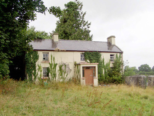 J. Hopkinshouse · 192 yd
 New Row FortFairy fort / earthen ringfort · 659 yd
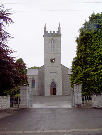 Catholic Church of the Nativity of the Blessed Virginchurch/chapel · 788 yd
 Bawnaveragh FortFairy fort / earthen ringfort · 991 yd
 Caltragh CastleCastle, unclassified · 1139 yd
 Elfeet CastleCastle, Anglo-Norman masonry castle · 1.5 mi
 Culnagore WoodForest · 1.7 mi
 Bush IslandIslet · 1.9 mi
 Elfeet BayBay · 2.0 mi
 Leveran IslandIslet · 2.2 mi
 Corlea Bog Walk Blue LoopWalking route · 3.6 mi
 Pollagh BayBay · 3.6 mi