What is recorded here
Forty feet of grass and scrub circle a hidden heart on the Monaghan rise, bounded by an earthen bank wide enough to swallow a cart. The south gap remains open for entry, but the northeast edge broke when men dumped earth inside to level the ground for a new road. What lived within that ring before the disturbance has vanished into the soil, leaving only a scarred boundary and a waiting silence.
Situated on a rise with rock outcrop in a low-lying landscape. This is a circular grass and scrub area (diam. 31m NE-SW; 28.4m NW-SE) defined by an overgrown earthen bank (at SE: Wth 5.2m; int. H 0.7m; ext. H 1.7m) that is incorporated into a field bank (at NW: Wth 2.4m; H 1.2m) SW-N. There is no visible fosse but the perimeter is skirted by a road bank N-SE. There is an entrance gap (Wth 1.6m) at S. The interior has become overgrown since 1967 (OSAP, 2005).
In 2012 a stretch of the perimeter NE-SE (L c. 20m) was removed and dumped against the inside of the bank to level up the interior during operations to replace an electricity pole and a new ramp entrance was created at NE. Remedial works and excavation (12E0166) were undertaken by CRDS, and the results are awaited.
The above description is derived from the published 'Archaeological Inventory of County Monaghan' (Dublin: Stationery Office, 1986). In certain instances the entries have been revised and updated in the light of recent research.
Date of upload/revision: 22 February 2018
The monument record does not grant public access. Check the route and ask the landowner before entering private land.
- What survives
- Recorded monument
Places near here
 Mass-rock in Lisnamoyle OtraMass-rock · 271 yd
 Old Church (ruin)Church · 959 yd
 Enclosure in Lisnamoyle EtraEnclosure · 1089 yd
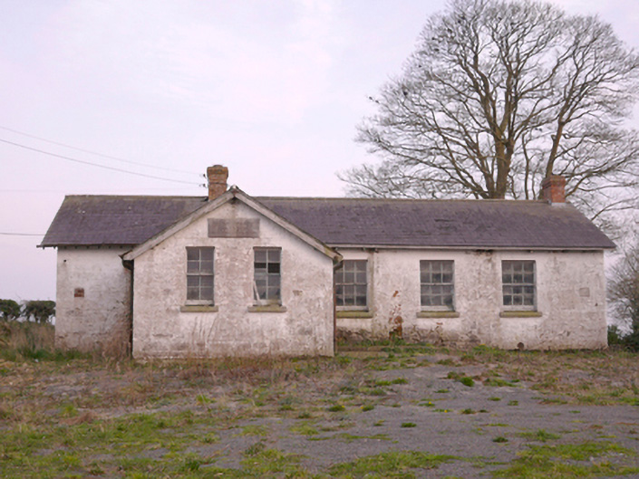 Scoil Náisiúnta Chorr Fuinnseogachschool · 1.4 mi
 KnockreaghMountain / peak · 2.3 mi
 Mannan Castle (in ruins)Castle, Anglo-Norman masonry castle · 2.4 mi
 TobernagalliaghSpring · 3.0 mi
 Fincarn HillMountain / peak · 4.4 mi
 Battle of Newry Roadbattle · 4.5 mi
 MEDIEVAL & POST-MED. CHURCH & GRAVEYARD in Creggan Bane GlebeMEDIEVAL & POST-MED. CHURCH & GRAVEYARD · 4.8 mi
 Horse-chestnutHorse-chestnut · 4.8 mi
 Whites IslandIslet · 4.9 mi