
What is recorded here
Henry Luttrell's 1689 plan of the town and defences of Sligo (see SL014-065014-) shows a redoubt – a small, usually temporary, enclosed defensive work – which had been erected to cover any approach being made to the town along the routeways now known as Barrack Street and Holborn Hill. The plan shows the salient faces of the redoubt pointing north behind which cannon would have been mounted. The date of its erection is unknown but it was undoubtedly fortified at the time of the Williamite wars and, being of earthen construction, was abandoned soon after and subsequently removed. The precise location of this redoubt is unknown but judging from its position on Luttrell’s 1689 plan it was probably situated in the area of the former barracks and the coordinates provided should only be considered as indicative of this evidence.
Compiled by: Paul Walsh
Date of upload: 16 February 2018
A local fairy fort (ringfort/rath); wider significance not recorded.
The monument record does not grant public access. Check the route and ask the landowner before entering private land.
- What survives
- Recorded monument
Places near here
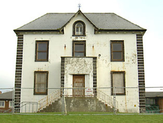 Constance Markiewicz Houseschool · 181 yd
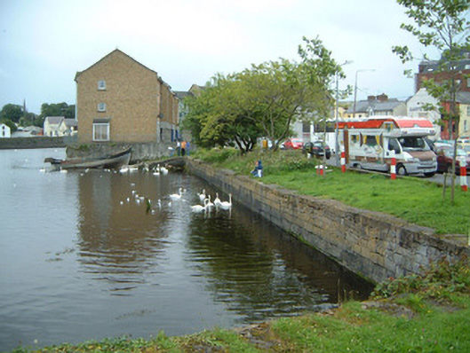 Old Quayharbour/dock/port · 394 yd
 Famine MemorialMonument · 419 yd
 CastleCastle, Anglo-Norman masonry castle · 474 yd
 Bastioned fort in RathquarterBastioned fort · 475 yd
 Model Niland GalleryHeritage attraction · 548 yd
 Discover IrelandVisitor information · 577 yd
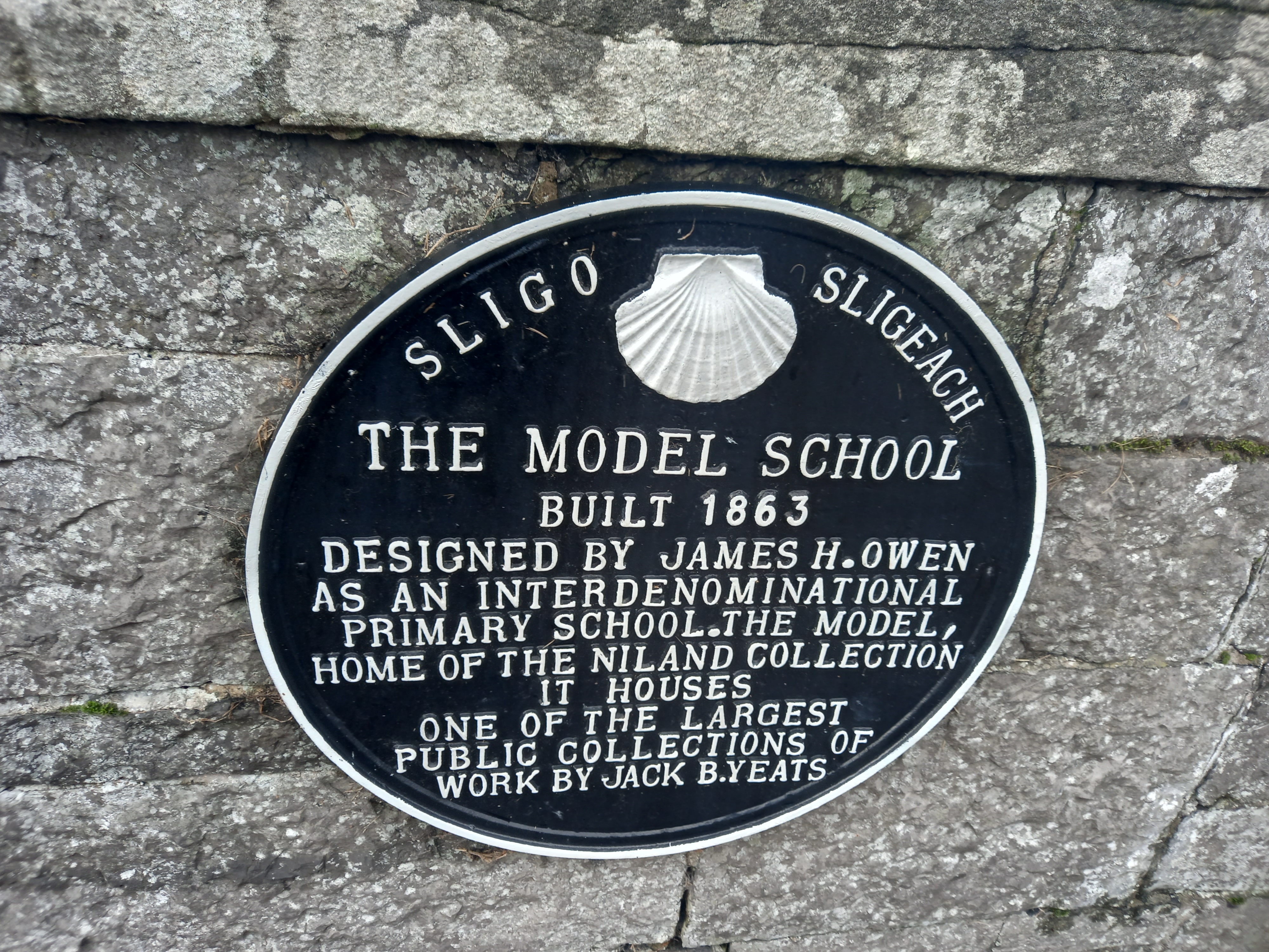 Model SchoolMemorial · 585 yd
 SligoVisitor information · 586 yd
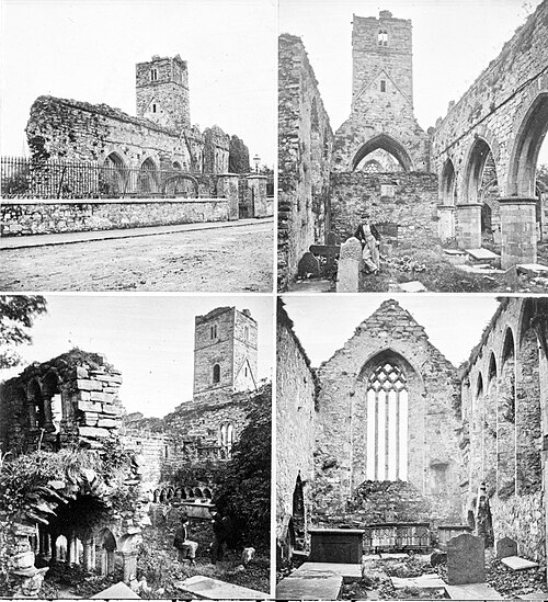 Sligo AbbeyMuseum · 718 yd
 CrossCross, Market cross · 760 yd
 European BeechEuropean Beech · 1132 yd
Other information
Photo: Credit not shown in the picture search · Rights wording not checked; contact us if this picture should be removed