
What is recorded here
This enclosure is situated towards the centre of Illauncarbry, a small island in a sheltered inlet close to the E shore of Lough Corrib. The entire island has been planted with hardwoods which have reached maturity. It consists of a well-preserved inner subcircular enclosure (35m N-S; 30m E-W) defined by a mortared masonry wall. This is surrounded by a deep wide fosse filled with collapsed rubble which in turn is enclosed by a low counterscarp outer bank. A narrow opening in the inner cashel-like wall at ENE appears to be modern which together with the remnants of two walls projecting from the interior at the ESE may date to the late 18th/early 19th century when the island was inhabited by a recluse named Carbry (from whom the island takes its modern name) (Naessens & O’Conor 2012, 117). A sample of mortar from the inner enclosing wall returned a radiocarbon determination indicating a construction date ranging from AD 1020-1180 (ibid., 118). The remains of the 13th-century Cargin Castle (GA055-028----) lie 450m to the NE. The monument has been identified by Naessens and O’Conor (ibid., 117) as a possible pre-Norman fortification dating to the 11th/12th century. (Wilde 1872, 89-90; Kelly 1897, 387; Killanin and Duignan 1967, 304-5; Gosling 1993, No. 177)
Revised by: Paul Walsh
Revised date of upload: 18 April 2017
A local fairy fort (ringfort/rath); wider significance not recorded.
The monument record does not grant public access. Check the route and ask the landowner before entering private land.
- What survives
- Recorded monument
Places near here
 Castle (in ruins)Castle, hall-house · 500 yd
 Man-made underground passage in CarginMan-made underground passage · 967 yd
 BallynacreggaWood · 1021 yd
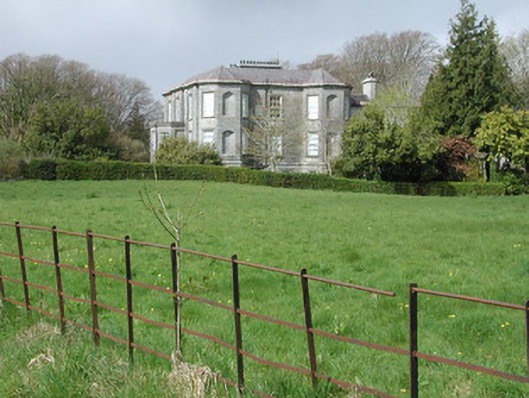 Clydagh Housecountry house · 1059 yd
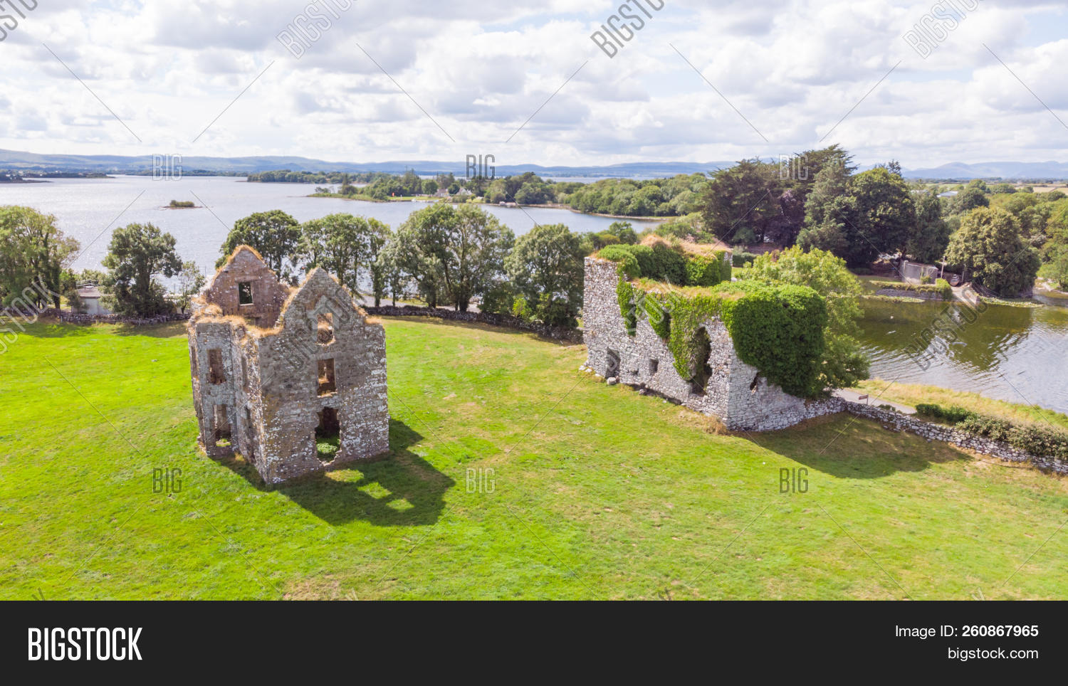 IndicatedFairy fort / ringfort · 1689 yd
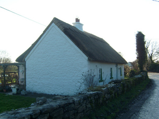 Willow Cottagehouse · 1.4 mi
 Freeheen IslandIslet · 1.6 mi
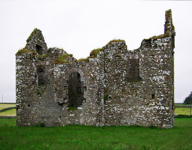 Annaghkeen Castle (in Ruins)Castle, Anglo-Norman masonry castle · 1.7 mi
 Walsh's IslandIslet · 2.1 mi
 Ross Errilly FriaryHeritage attraction · 3.4 mi
 Brigit's GardenHeritage attraction · 3.9 mi
 Cúil DiarmuidWood · 4.3 mi
Other information
Photo: Credit not shown in the picture search · Rights wording not checked; contact us if this picture should be removed