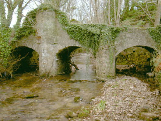
What is recorded here
Triple-span stone road-over-river bridge, built c. 1750. Unpainted roughcast rubble stone walling rising to parapet, triangular cutwaters rising to above parapet to north-west. Segmental-headed arches, roughly-dressed stone voussoirs. Unsurfaced carriageway, distorted round-bar wrought-iron gates to north side, ruin of building on river bank to south-west. Spans north-south over shallow stream.
Very little appears to be known about this rather ancient bridge located in a wooded glade and linking the road to the north with farm buildings associated with Fort Louis to the south. The simple stonework is well executed and the rising cutwater to the north-west is an intriguing feature.
This does not grant access. Most recorded buildings are privately owned; view them only from public ground unless the owner allows entry.
Places near here
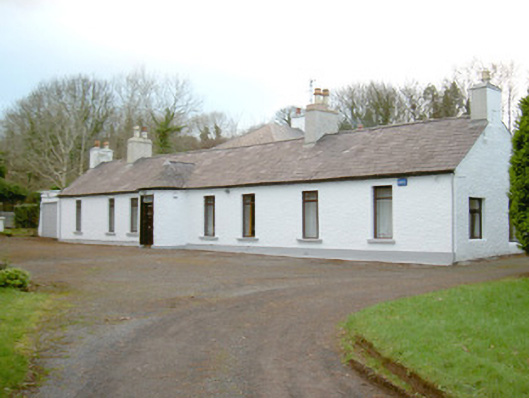 Fort Louishouse · 32 yd
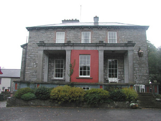 Mountshannon Housecountry house · 663 yd
 Enclosure in LisnalurgEnclosure · 945 yd
 Fortification in LisnalurgFortification · 961 yd
 European BeechEuropean Beech · 1019 yd
 Model Niland GalleryHeritage attraction · 1.0 mi
 Sligo Masonic HallMemorial · 1.0 mi
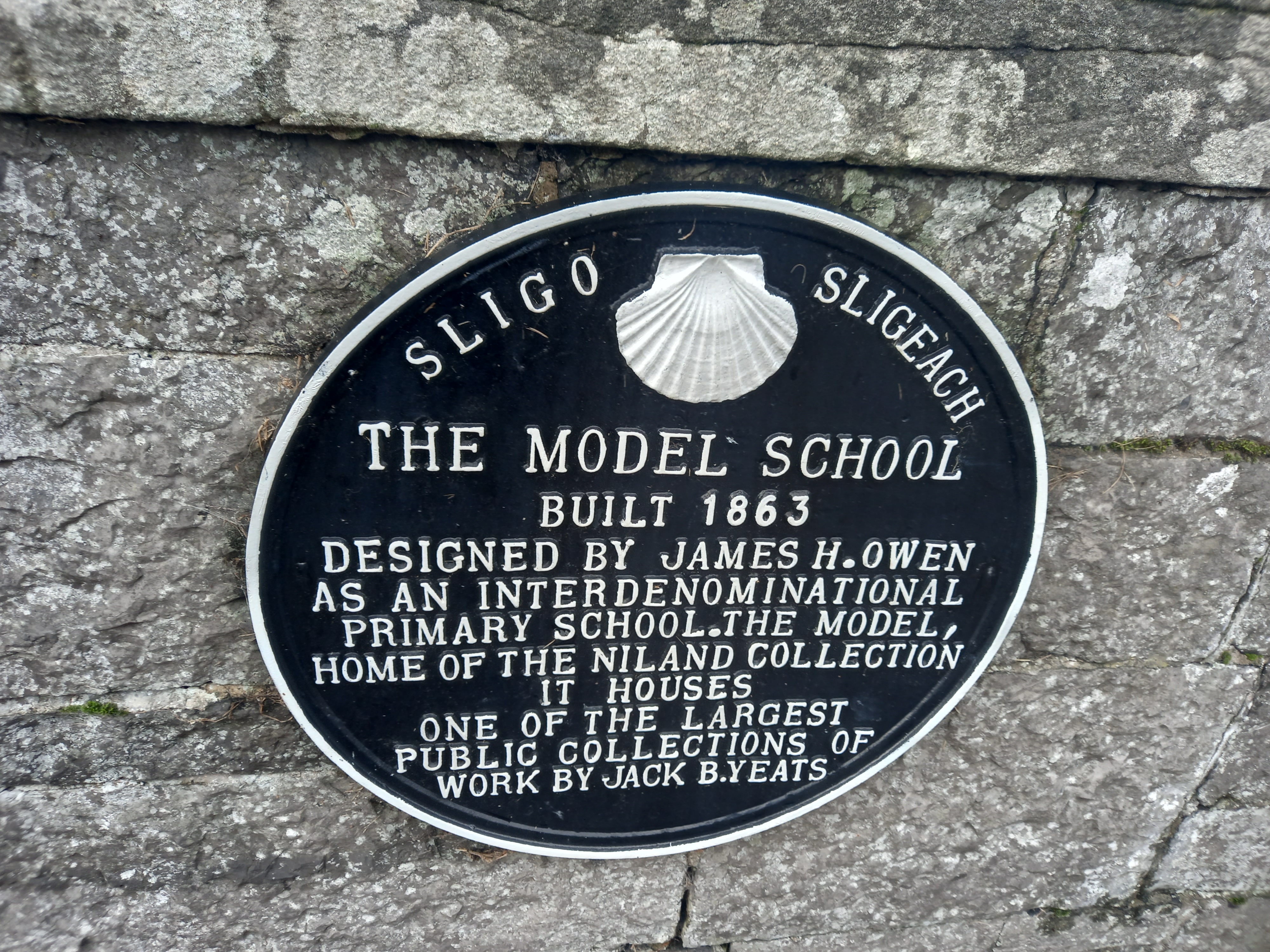 Model SchoolMemorial · 1.1 mi
 CastleCastle, Anglo-Norman masonry castle · 1.1 mi
 SligoVisitor information · 1.2 mi
 Discover IrelandVisitor information · 1.2 mi
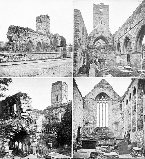 Sligo AbbeyMuseum · 1.2 mi
Other information
Photo: National Inventory of Architectural Heritage · Website use allowed for educational or private purposes with source credit