What is recorded here
On a ridge of high ground, with extensive views in all directions. A roughly oval platform (25m N-S; 35.4 E-W) is defined to the N by a semi-circular stone wall (int. H 1.5m; ext H 0.8m; wall T 0.45m) and to the S by a low earthen scarp (H 0.17m) and a fosse (Wth 3.1m), which is discernible only at the E and W. Two stone pillars (diam. 0.9m) are located immediately S of the stone wall. These are unrelated to this monument.
Compiled by: Patrick F. O'Donovan
Date of upload: 21 April 2011
The monument record does not grant public access. Check the route and ask the landowner before entering private land.
- What survives
- Recorded monument
Places near here
 Embanked enclosure in LisnalurgEmbanked enclosure · 518 yd
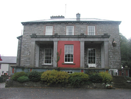 Mountshannon Housecountry house · 555 yd
 Enclosure in TeesanEnclosure · 656 yd
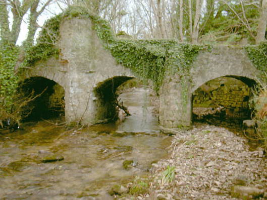 Fort Louisbridge · 945 yd
 European BeechEuropean Beech · 1.1 mi
 Famine MemorialMonument · 1.5 mi
 Model Niland GalleryHeritage attraction · 1.5 mi
 Sligo Masonic HallMemorial · 1.5 mi
 CastleCastle, Anglo-Norman masonry castle · 1.5 mi
 Discover IrelandVisitor information · 1.6 mi
 SligoVisitor information · 1.6 mi
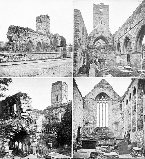 Sligo AbbeyMuseum · 1.7 mi
Other information
Photo: Credit not shown in the picture search · Rights wording not checked; contact us if this picture should be removed