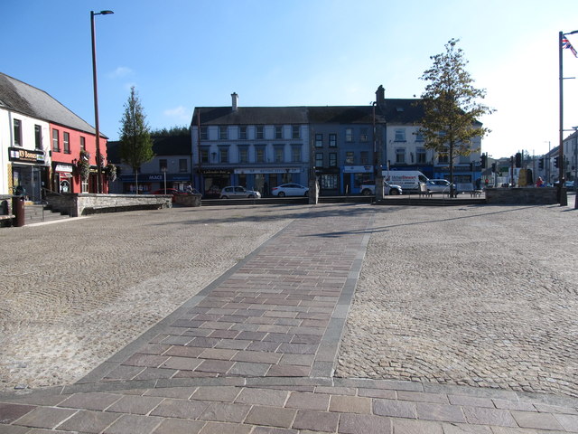
_-_geograph.org.uk_-_2895053.jpg)
What is recorded here
The official Northern Ireland record identifies this as a Grade B2 listed building. Recorded construction date: 1840 - 1859. Current recorded use: Bridge.
The official record and map point do not grant access. Many historic buildings are privately owned; view them only from public ground unless the owner allows entry.
Places near here
 A-P site, Conjoined enclosures, possibly barrows in CahardA-P site, Conjoined enclosures, possibly barrows · 203 yd
 ENCLOSURE in BallydyanENCLOSURE · 586 yd
 RowallaneOffice · 1.8 mi
 Battle of Ballynahinchbattle · 2.5 mi
 Windmill Hill WoodWood · 2.5 mi
 Second Presbyterian ChurchChurch · 2.5 mi
 Windmill HillMountain / peak · 2.6 mi
 Glasswater WoodWood · 2.6 mi
 Windmill Street Car ParkVisitor information · 2.8 mi
 Market DayVisitor information · 2.8 mi
 Battle of Saintfield (1798)Battlefield · 3.0 mi
 FORTIFICATION: McCARTAN'S CASTLE (unlocated) in MagheratimpanyFORTIFICATION: McCARTAN'S CASTLE (unlocated) · 4.7 mi
Other information
Photo: Albert Bridge · CC BY-SA 2.0