What is recorded here
On NE shore of Lough Carra, joining Church Island to mainland. Stone causeway (L 78m) of dump construction, extends (L 37m; Wth 1.1m) across lake bed (rising above water level) to island where it continues (L 41m; 1.8m) across land in zigzag pattern. It ends at opening in stone wall. Portion on lake has recently been widened (Wth 3.2m) but original outline is easily recognisable.
The above description has been derived from D. Lavelle (compiler), An Archaeological Survey of Ballinrobe and District including Lough Mask and Lough Carra. Lough Mask and Lough Carra Tourist Development Association (1994), No. 78.
Date of upload: 22 January 2013
The monument record does not grant public access. Check the route and ask the landowner before entering private land.
- What survives
- Recorded monument
Places near here
 Church in ruinsChurch · 217 yd
 Doon WoodWood · 643 yd
 BonnimilishIslet · 782 yd
 Redgate ParkWood · 1204 yd
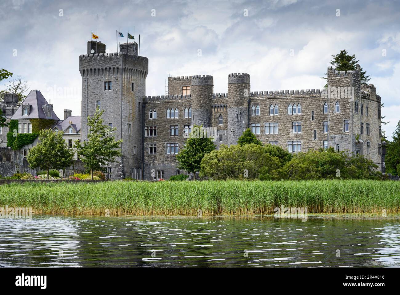 IndicatedFairy fort / earthen ringfort · 1362 yd
 Wall of CastleBawn · 1395 yd
 Castle CarraCastle · 1438 yd
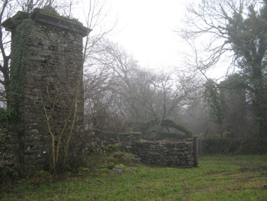 Castlecarragates/railings/walls · 1543 yd
 Bird IslandIslet · 1693 yd
 Enclosure in BaunogesEnclosure · 1.5 mi
 The Celtic FurrowHeritage attraction · 1.8 mi
 Moore Hall Forest TrailWalking route · 2.1 mi