
What is recorded here
From the National Monuments Service (Archaeological Survey of Ireland) record WM019-089014
Places near here
Photo credits
- National Inventory of Architectural Heritage
- Gavigan, Wikimedia Commons · CC BY-SA 3.0
- Maker not stated on source page, www.tripadvisor.ru
- Maker not stated on source page, www.alamy.com
- Maker not stated on source page, en.wikipedia.org
- Bridget Neville, Wikimedia Commons · CC BY-SA 4.0
- Maker not stated on source page, commons.wikimedia.org
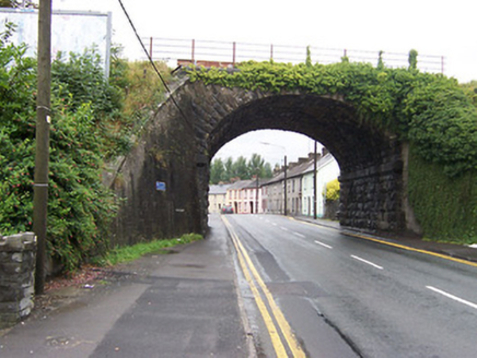 bridge177 yd
Explorer Tom Bridge in Mullingar knows where the bodies are buried under the limestone, or so it claims after enough pints. Built by…
 Mullingar Railway StationRailway station · 510 yd
Explorer Tom Mullingar Railway Station in Mullingar would use its lotto win to buy every single ticket on the platform and just…
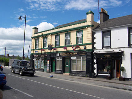 Railway HouseShop/retail outlet · 623 yd
Explorer Tom Railway House in Mullingar is dressed up in heavy, imposing details, looking like it’s ready to run a very serious…
 Church in MullingarChurch · 694 yd
Explorer Tom Church in Mullingar has very strong opinions on modern buildings, mostly because it spent four hundred years as a…
 Fairy fort / ringfort in Ballinderry (moyashel & Magheradernon By.)Fairy fort / ringfort · 745 yd
Explorer Tom Fairy fort / ringfort in Ballinderry is now living under a housing estate, which feels like a bad reality show plot…
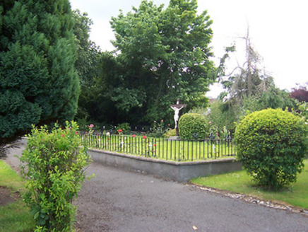 Loreto ConventGraveyard/cemetery · 906 yd
Explorer Tom Loreto Convent graveyard in Mullingar is where the nuns rest, but they definitely still grade your homework from the…
 post box930 yd
Explorer Tom Post box in Mullingar is playing dress-up with Edward VII’s crown on its head, looking absolutely regal while it just…
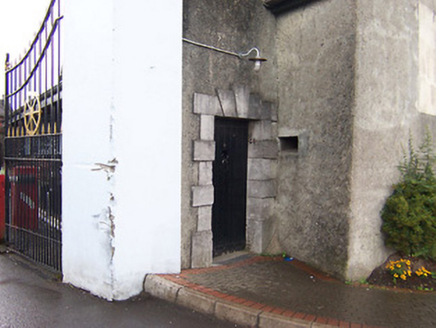 Columb BarracksGates/railings/walls · 1021 yd
Explorer Tom Columb Barracks is having an intense staring contest with the nearest tree, trying to decide which one looks more…
 Fairy fort / earthen ringfort in LynnFairy fort / earthen ringfort · 1666 yd
Explorer Tom Fairy fort / earthen ringfort in Lynn is proud of its view over the River Brosna, even though it can barely see the…
 Famine CemeteryCemetery · 1.2 mi
Explorer Tom Famine Cemetery in County Westmeath is sick of being asked if it’s haunted, because yes, obviously, but it wants to be…
 Saint Brigid's WellSpring · 1.9 mi
Explorer Tom Saint Brigid's Well has an escape plan involving a cart of hay and a very fast horse named Brenda. She’s been plotting…
 Kilbride GraveyardGraveyard · 2.1 mi
Explorer Tom Kilbride Graveyard claims to hold a world record for the longest yawn heard from a stone marker. It’s a stretch, but…
More archaeology and monuments in County Westmeath · All of County Westmeath

What do you know about this place?Tap to add a comment or ask a question