What is recorded here
A ford is named along a routeway on the Down Survey (1655-6) map of Longford barony (NLI MS 719) where it crosses the Fallen River; another one is depicted where it crosses the Camlin River (see LF008-043----). This ford may be the same one that is described in the Civil Survey (1654-6) as the ‘foord of Bellanesse’ (Simington 1961, vol. 10, 46). No visible remains survive. (Doran 2010, 14)
Compiled by: Caimin O'Brien
Date of upload: 10 May 2012
The monument record does not grant public access. Check the route and ask the landowner before entering private land.
- What survives
- Recorded monument
Places near here
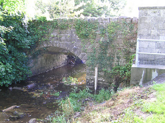 bridgebridge · 1 yd
 StructureStructure, peatland · 716 yd
 RoadRoad, class 1 togher · 1207 yd
 PlatformPlatform, peatland · 1260 yd
 CastleCastle, tower house · 1.8 mi
 Graveyard in Curry (ardagh By., Coolamber Ed)Graveyard · 2.5 mi
 Bawn in AbbeycartronBawn · 3.2 mi
 First World War MemorialMemorial · 3.2 mi
 Saint Mel's CathedralCathedral · 3.3 mi
 Commons North WalkVisitor information · 5.6 mi
 Wild birdsVisitor information · 5.8 mi
 White Sand WoodWood · 6.1 mi