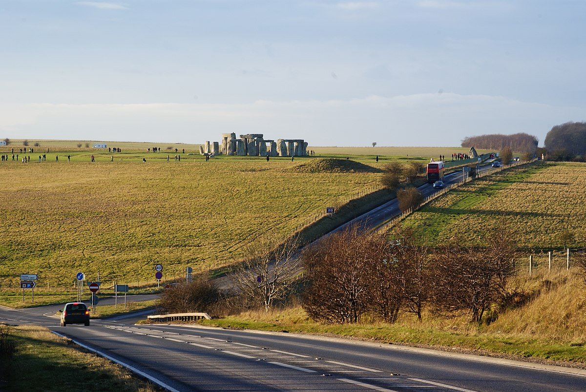
What is recorded here
Originally recorded as a togher (L 80m; Wth 2.1-3m; T 0.15-0.3m) composed of longitudinal roundwood and brushwood (diam. 0.01-0.25m), which extended over seven fields. It was mostly evident on the field surface and was being milled but was also visible in drain faces at a depth of up to 0.35m. One piece of brushwood had a worked end with six facets, two of which were stepped - possibly formed with a metal blade (Dunne 1999, 48, 99BG001A-G). Excavation in 2002 indicated that the remains were mostly orientated WSW-ENE and were composed of tightly packed longitudinal roundwood that extended over 60m. After this point, it was believed that the remaining stretch (L 40m) was composed of a series of small brushwood platforms along the same line. A date range of 393-387 BC was obtained (Whitaker 2009, 48).
Compiled by: Mary Tunney based on data supplied by Jane Whitaker, Archaeological Development Services.
Date of upload: 26 August 2011
The monument record does not grant public access. Check the route and ask the landowner before entering private land.
- What survives
- Recorded monument
Places near here
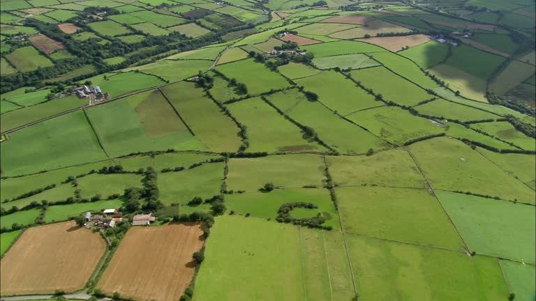 PlatformPlatform, peatland · 100 yd
 StructureStructure, peatland · 170 yd
 RoadRoad, class 2 togher · 496 yd
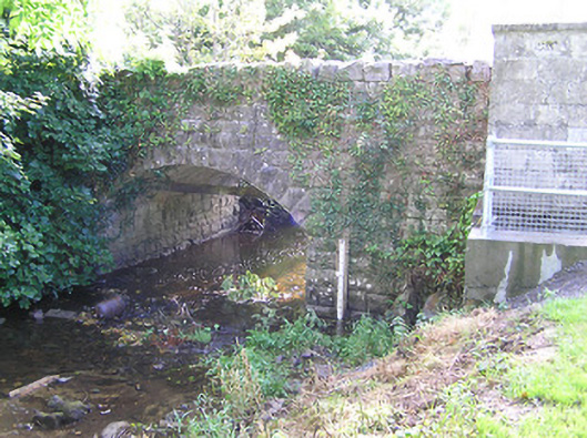 bridgebridge · 1207 yd
 CastleCastle, tower house · 1.6 mi
 Graveyard in Curry (ardagh By., Coolamber Ed)Graveyard · 2.7 mi
 First World War MemorialMemorial · 3.8 mi
 Bawn in AbbeycartronBawn · 3.8 mi
 Saint Mel's CathedralCathedral · 4.0 mi
 Commons North WalkVisitor information · 4.9 mi
 Wild birdsVisitor information · 5.1 mi
 White Sand WoodWood · 5.5 mi
Other information
Photo: Credit not shown in the picture search · Rights wording not checked; contact us if this picture should be removed