What is recorded here
On the River Suck with Kilkeevan church (RO026-040001-) on higher ground c. 60m to the NW. A ford is marked on an unreferrenced and undated Longfield map in NLI. Neither the ford nor the church are marked on a late 18th centuyr map (Kelly, M. J. 2000). A concrete bridge (Wth 3m) now spans the river with connecting laneways. Archaeological testing on both sides of the river in 2003 failed to produce any archaeological material (Fitzpatrick 2006b).
Compiled by: Michael Moore
Date of upload: 24 August 2010
The monument record does not grant public access. Check the route and ask the landowner before entering private land.
- What survives
- Recorded monument
Places near here
 CrossCross · 674 yd
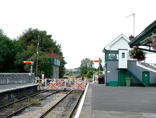 Castlerea Railway Stationsignal box · 993 yd
 Settlement cluster in ArmSettlement cluster · 1037 yd
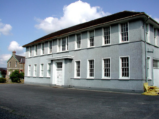 Castlerea Technical Schoolcollege · 1116 yd
 Workhouse MemorialMemorial · 1459 yd
 Castlereagh HouseCastle, unclassified · 1672 yd
 Silver IslandIslet · 1.4 mi
 Clonalis HouseMuseum · 1.7 mi
 Coolougher WoodForest · 2.4 mi
 CastleCastle, Anglo-Norman masonry castle · 4.2 mi
 Rook HillMountain / peak · 6.9 mi
 Site of Killomaine Grave YardArchaeological place · 7.4 mi