
What is recorded here
Situated towards the NW end of a ridge with gentle slopes to the W, N and E. A roughly square granite font with rounded edges lies broken in three pieces in the E end of a church (WI043-002001-).
The above description is derived from the published 'Archaeological Inventory of County Wicklow' (Dublin: Stationery Office, 1997). In certain instances the entries have been revised and updated in the light of recent research.
Compiled by Jean Farrelly
Date of upload: 10 October 2012
A local church or high cross; wider significance not recorded.
The monument record does not grant public access. Check the route and ask the landowner before entering private land.
- What survives
- Recorded monument
Places near here
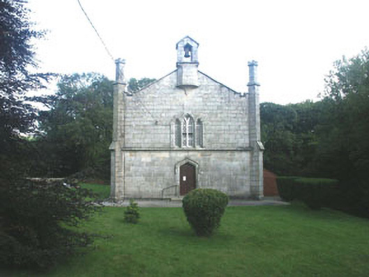 Mullinacuff Churchchurch/chapel · 371 yd
 IndicatedFairy fort / earthen ringfort · 650 yd
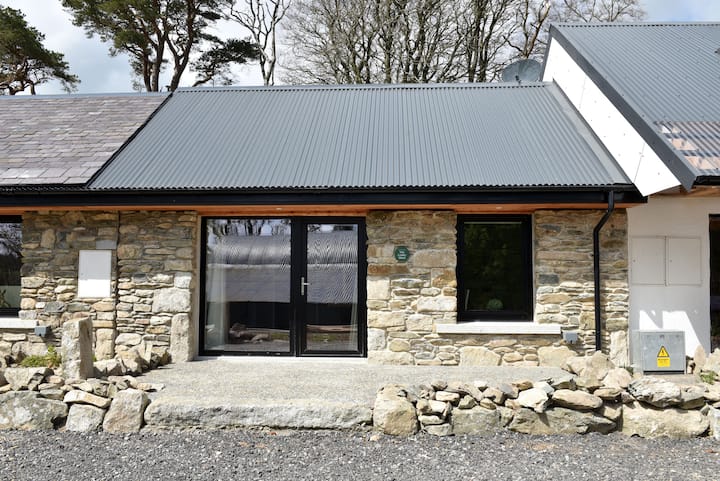 Enclosure in Newtown (shillelagh By.)Enclosure · 1.1 mi
 Ballynultagh HillMountain / peak · 1.2 mi
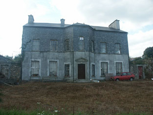 Ballyraheen Housecountry house · 1.8 mi
 Sweet ChestnutSweet Chestnut · 2.1 mi
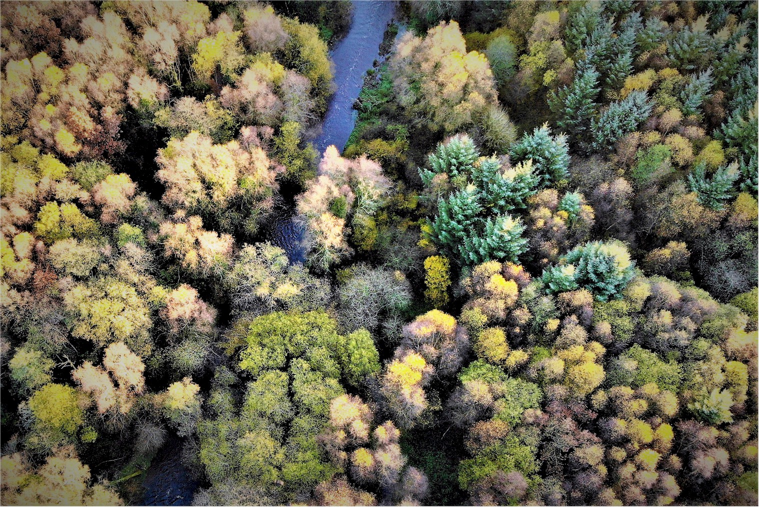 Tomnafinnoge WoodWood · 2.5 mi
 Clonmore MoatCastle, motte and bailey · 2.6 mi
 Clonmore Castle (in Ruins)Castle, Anglo-Norman masonry castle · 2.9 mi
 Church (in ruins), GraveyardChurch · 3.8 mi
 Eagle HillMountain / peak · 4.2 mi
 Luke O'Toole MemorialMemorial · 4.7 mi
Other information
Photo: Credit not shown in the picture search · Rights wording not checked; contact us if this picture should be removed