What is recorded here
In a graveyard (WI028-006001-) on a gentle SW-facing slope overlooking a stream with a holy well (WI028-005----) 80m to the SW. A subrectangular granite font (0.71m x 0.55m) with a subrectangular basin (0.53m x 0.38m; D 0.27m) and a drain-hole in one corner of the base lies to the S of the centre of the graveyard.
Compiled by: Mary Tunney
Date of upload: 25 October 2012
The monument record does not grant public access. Check the route and ask the landowner before entering private land.
- What survives
- Recorded monument
Places near here
 Cross in Slievereagh LowerCross · 10 yd
 TobernashankillHoly well · 110 yd
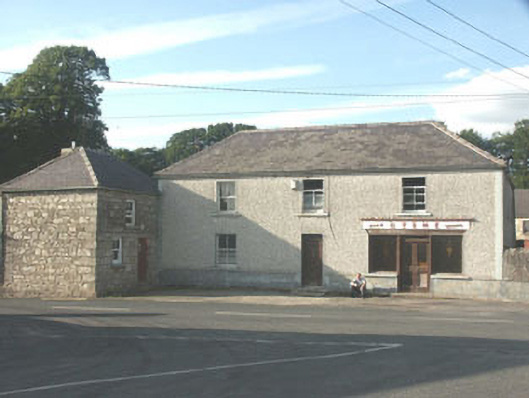 Byrnehouse · 1.0 mi
 SlievereaghMountain / peak · 1.2 mi
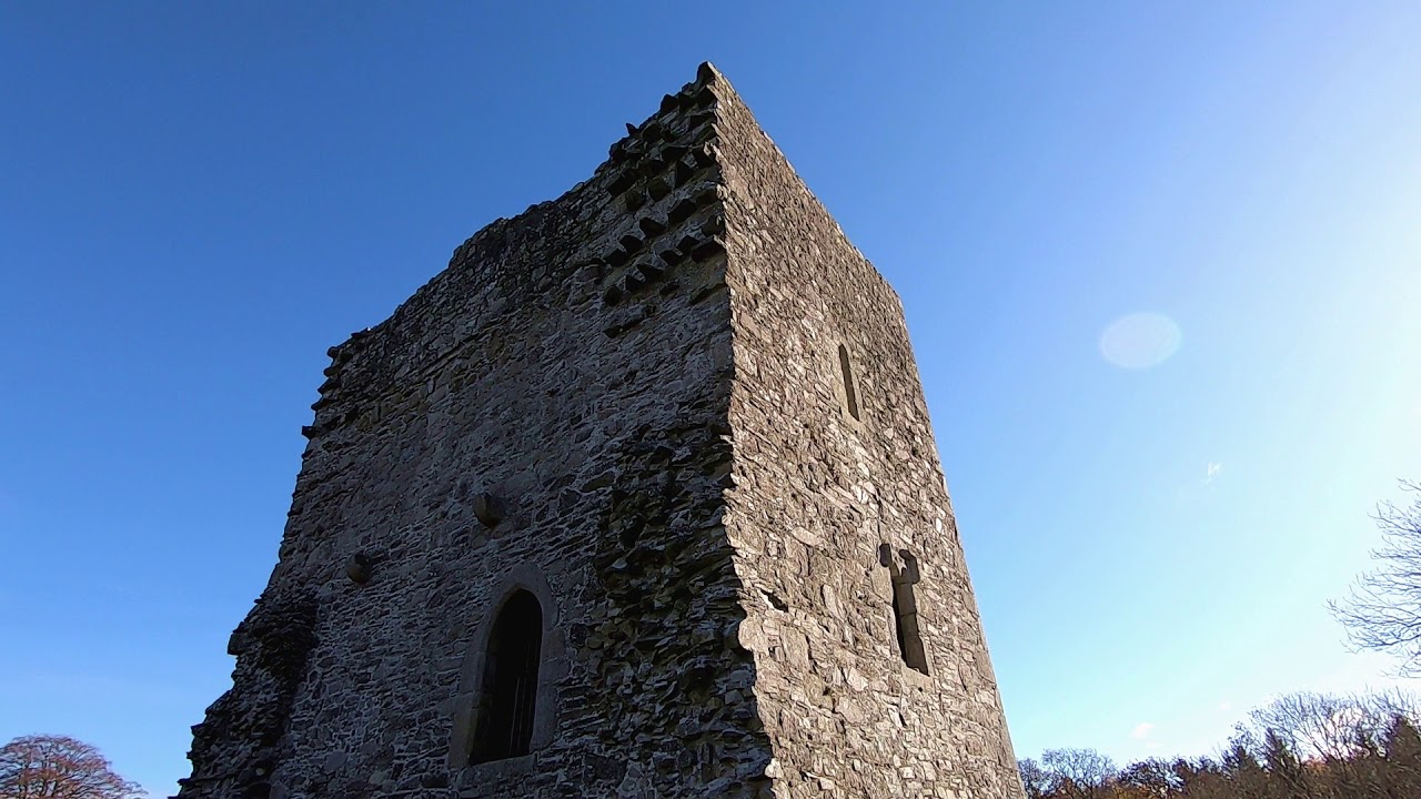 CastleCastle, motte · 1.6 mi
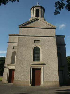 Saint Mary's Catholic Churchchurch/chapel · 1.6 mi
 Ballineddan MountainMountain / peak · 2.1 mi
 Dwyer McAllister CottageMuseum · 2.4 mi
 Sessile OakSessile Oak · 2.8 mi
 The Black StairsNamed rock · 2.8 mi
 The Back MotteNamed rock · 3.5 mi
 Castle in ruinsCastle, unclassified · 3.5 mi