
What is recorded here
Located against the W wall of Killiskey graveyard (WI019-011001-). A cylindrical granite block (diam. at top 0.72m-0.74m; H 0.5m) with a circular basin (diam. at top 0.53m; diam. at base 0.43m; D 0.2m). The sides are sloping and the base is dished. A drain hole exists at one side and is recessed into side of basin.…
Read the whole record
Located against the W wall of Killiskey graveyard (WI019-011001-). A cylindrical granite block (diam. at top 0.72m-0.74m; H 0.5m) with a circular basin (diam. at top 0.53m; diam. at base 0.43m; D 0.2m). The sides are sloping and the base is dished. A drain hole exists at one side and is recessed into side of basin. The hole narrows to 2cm across, and expands to 8cm across where it exits the side of the font. The rim immediately around the mouth of the basin takes the form of a flat ledge (3cm wide) that is slightly lower than the outer circumference of the rim. This was clearly designed to accommodate a lid. On the outer circumference of the rim are three small holes (one directly above the drain hole). These are sub-rectangular in shape with rounded bases (ranging from 3cm to 3.5cm long, 1.5cm wide and 1cm to 2cm deep). Roughly half of the body of the font has been formed into four facets that are defined by raised ridges on the upper part, opening out into fluting that splays out towards the base of the stone. There is a lack of consistency in how this was done. Presumably this was the part of the font that was meant to be seen. The body of the font where the drain hole exists is rounded, so perhaps this side of the font formed the rear.
From the National Monuments Service (Archaeological Survey of Ireland) record WI019-011003
Places near here
Photo credits
- National Inventory of Architectural Heritage
- User:Mmparedes, Wikimedia Commons · CC BY-SA 2.5
- Jean-Pol GRANDMONT, Wikimedia Commons · CC BY 3.0
- JP, Wikimedia Commons · CC BY-SA 2.0
- Sarah777 at English Wikipedia, Wikimedia Commons · Public domain
- Yablochko, Wikimedia Commons · CC0
- Andreas F. Borchert, Wikimedia Commons · CC BY-SA 4.0
- Pierre Terre, Geograph · CC BY-SA 2.0
- Tszabon, Wikimedia Commons · CC BY-SA 3.0
- Simon Mortimer, Geograph · CC BY-SA 2.0
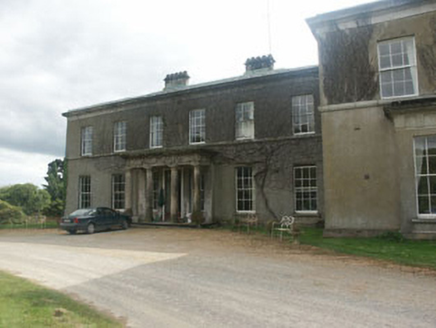 Ballycurry HouseCountry house · 1.0 mi
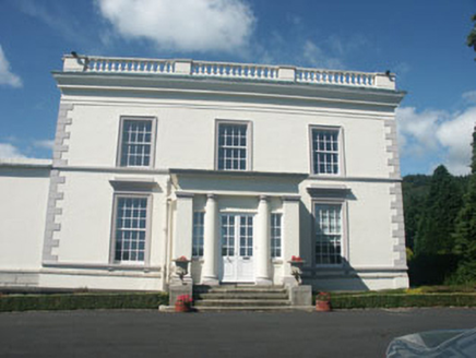 Dunran CastleCountry house · 1.1 mi
 Chestnut-leaved Oak2.2 mi
 American Sweetgum2.2 mi
 Devil's Glen WaterfallWaterfall · 2.3 mi
 Carrick MountainMountain / peak · 4.4 mi
 Victor's WayHeritage attraction · 5.3 mi
 Black Castle (in ruin)Castle, Anglo-Norman masonry castle · 5.3 mi
 White HillMountain / peak · 7.5 mi
 J.b. Malone MemorialMemorial · 7.6 mi
 Lough TayMountain lake · 7.8 mi
 Deerpark TrailWalking route · 8.1 mi
More archaeology and monuments in County Wicklow · All of County Wicklow

What do you know about this place?Tap to add a comment or ask a question