What is recorded here
Situated in the W interior of Killilagh church (CL008-063001-). Identified and photographed by Simon Large (2011). This flat-lying square-shaped stone font base (est. L c. 0.6m; Wth 0.6m) has a subcircular socket (diam. c. 0.23m) in the centre of its flat upper surface. In the middle of that circular socket is another (diam. c. 0.07m) which is deeper. There are four smaller circular holes (diam. c. 0.12m) near each corner of the slab. These sockets would have supported a now-missing font pedestal. The following image has been uploaded:
CL008-063005-_01.jpg Font base
Compiled by: Mary Tunney and Conn Herriott
Date of upload: 16 January 2023
Situated in the W interior of Killilagh church (CL008-063001-). Identified and photographed by Simon Large (2011). This flat-lying square-shaped stone font base (est. L c. 0.6m; Wth 0.6m) has a subcircular socket (diam. c. 0.23m) in the centre of its flat upper surface. In the middle of that circular socket is another (diam. c. 0.07m) which is deeper. There are four smaller circular holes (diam. c. 0.12m) near…
From the National Monuments Service (Archaeological Survey of Ireland) record CL008-063005
The monument record does not grant public access. Check the route and ask the landowner before entering private land.
- What survives
- Recorded monument
Places near here
Enclosure in KillilaghEnclosure · 172 yd Roadford BridgeBridge · 569 ydCatholic Church of the Holy RosaryChurch/chapel · 683 ydAran View SwalletCave · 904 ydDoonmacfelim Castle (in Ruins)Castle, tower house · 1208 ydCourt tomb in TeergoneanCourt tomb · 1276 ydWild Atlantic Way: Doolin PierVisitor information · 1.3 miDoolin PointHeadland · 1.4 miDoonagore Castle in ruinsCastle, tower house · 1.4 miBallaghaline PointHeadland · 1.5 miCrab IslandIslet · 1.6 miDoolin CaveCave · 1.8 mi
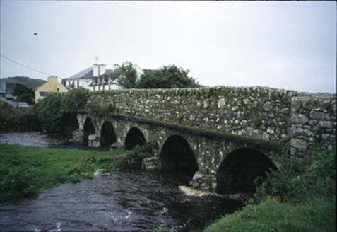 Roadford BridgeBridge · 569 yd
 Catholic Church of the Holy RosaryChurch/chapel · 683 ydAran View SwalletCave · 904 yd
 Doonmacfelim Castle (in Ruins)Castle, tower house · 1208 yd
 Court tomb in TeergoneanCourt tomb · 1276 yd
 Wild Atlantic Way: Doolin PierVisitor information · 1.3 mi
 Doolin PointHeadland · 1.4 mi
 Doonagore Castle in ruinsCastle, tower house · 1.4 mi
 Ballaghaline PointHeadland · 1.5 mi
 Crab IslandIslet · 1.6 mi
 Doolin CaveCave · 1.8 mi
Pictures: National Inventory of Architectural Heritage; The Banner, Wikimedia Commons · CC BY-SA 3.0; Gareth James, Geograph · CC BY-SA 2.0; No machine-readable author provided. Bogman assumed (based on copyright claims)., Wikimedia Commons · CC BY-SA 2.5; Bob Jones, Geograph · CC BY-SA 2.0; Valfex, Wikimedia Commons · CC BY-SA 3.0; Gordon Hatton, Geograph · CC BY-SA 2.0; P.hammer, Wikimedia Commons · CC BY-SA 3.0
More archaeology and monuments in County Clare · All of County Clare
What do you know about this place?