What is recorded here
Ten metres from the south wall of St. Martin’s church in Kinalmeaky, an irregular octagonal stone font holds a shallow carved bowl, waiting for water that has not touched it in centuries. Seán P. Ó’Ríordáin found it in the early 1930s after grave-diggers probably dragged it from beneath the soil, suggesting it belonged to the ruined Teampall Mairtin rather than the standing church. A concrete plinth and plaque now present the font as a traditional survivor, yet the real story is that burial work repeatedly opens and closes the boundary between the living church and the buried one.
10m from the south wall of St. Martin’s church (CO096-008001-) close to the surrounding graveyard (CO096-008002-) boundary fence. The stone font which has irregular octangular sides measures 0.75m long, its width varies between 0.38m and 0.48m. The height of the font is 0.18m. A bowl shaped recess is carved into the top surface of the font, it measures 0.3m in diameter and .09m deep.
The font was first identified by Seán P. Ó’Ríordáin in the early 1930’s as he carried out his survey of Kinalmeaky barony. Ó’Ríordáin records that the font showed signs that suggested it may recently have been dug up, probably ‘during the opening of a new grave’ (Ó’Ríordáin 1931). It is possible that the font was associated with the early church (CO096-008003-). In the 1990s the font was placed on a low concrete plinth, 0.06m high, on the southern side of the extant church (Crowley 1997, 43). A plaque which was placed beside the font reads ‘According to tradition this is a font from the ancient church Teampall Mairtin which was in ruins in 1615’. Reported by David Herriott.
Images uploaded courtesy of David Herriott.
Compiled by: David Herriot
Date of upload/revision: 15 April 2019
The monument record does not grant public access. Check the route and ask the landowner before entering private land.
- What survives
- Recorded monument
Places near here
 Cross in Garranes (kinalmeaky By.)Cross · 17 yd
 St Martin's Church of Ireland Churchchurch/chapel · 20 yd
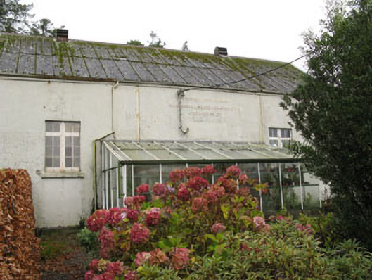 Templemartin Creamerycreamery · 414 yd
 Fulachta FiadhFulacht fia · 484 yd
 Castle Nalacht, site ofCastle, unclassified · 1.1 mi
 Mount Pleasant WoodWood · 1.8 mi
 Towers (in Ruins)House, fortified house · 2.8 mi
 Pedunculate OakPedunculate Oak · 3.4 mi
 Michael Collins MemorialMemorial · 3.9 mi
 Bandon War MemorialMemorial · 4.7 mi
 Carbury's WellSpring · 5.4 mi
 Independence MuseumMuseum · 5.4 mi