
What is recorded here
A 'Flour Mills' on a mill race with a 'Mill Pond' is depicted on the 1st (1840) ed. 6-inch OS map on the E side of the River Suir, N of the bridge at Golden. On the 1903-04 6-inch OS map the mill is depicted as 'Mill (Disused)' and it was demolished in the mid 1900s. There is no evidence that this mill pre-dates the late 18th/early 19th century.
Compiled by: Jean Farrelly
Date of upload: 25 February 2013
The monument record does not grant public access. Check the route and ask the landowner before entering private land.
- What survives
- Recorded monument
Places near here
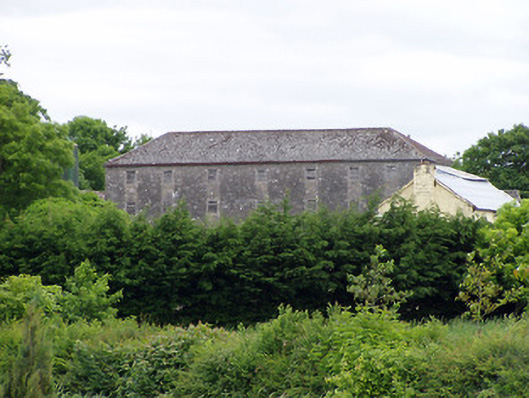 mill (water)mill (water) · 40 yd
 IndicatedBridge · 75 yd
 GoldenSettlement cluster · 81 yd
 Castle in ruinsCastle, tower house · 122 yd
 Bawn in CastleparkBawn · 477 yd
 Cliff-edge fort in Mantlehill GreatCliff-edge fort · 1313 yd
 Athassel PrioryHeritage attraction · 1.3 mi
 Hore AbbeyHeritage attraction · 3.8 mi
 Dundrum Woods (Marl Bog)Forest · 5.0 mi
 European ashEuropean ash · 5.0 mi
 I.R.A. 3rd. Tipperary Brigade MemorialMemorial · 6.9 mi
 The Maid of ErinMemorial · 7.8 mi
Other information
Photo: Credit not shown in the picture search · Rights wording not checked; contact us if this picture should be removed