What is recorded here
In wet poorly drained grassland atop low rise of ground on W bank of the Arglo river. 19th century buildings located where 'Flour Mill' indicated on 1st (1840) ed. OS 6-inch map. The mill race depicted on the 1st ed. map to the N of the flour mill survives today as an old field boundary. There are no visible remains of the 17th-century mill mentioned in the Civil Survey (1654-6) which describes 'a Mill and some few Cottages' (Simington 1931 vol. 1, 246) in this townland. The flour mill may have been built at the location of an earlier mill or may have been built at a new location away from the old mill. As the present location has no surface evidence for the location of an early mill, the watermill remains unlocated within Cloon townland.
Compiled by: Jean Farrelly
Date of upload: 26 August 2011
This remains an important historical record, but the official description says the monument is no longer visible or has been destroyed. The monument record does not grant public access. Check the route and ask the landowner before entering private land.
- What survives
- No visible remains or recorded as destroyed
Places near here
 CastleCastle, unclassified · 342 yd
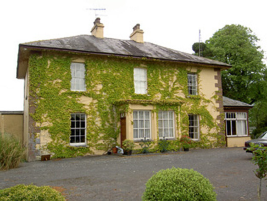 Ballymore Housecountry house · 411 yd
 IndicatedEnclosure · 703 yd
 Church (In Ruins)Church · 1096 yd
 Ballagh CastleCastle · 1.0 mi
 Parknamoe FortFairy fort / earthen ringfort · 1.2 mi
 Wych ElmWych Elm · 2.2 mi
 Woodcock GroveWood · 2.5 mi
 Hore AbbeyHeritage attraction · 4.8 mi
 Rock of CashelHeritage attraction · 4.9 mi
 The Rock Of CashelVisitor information · 4.9 mi
 Ballyknock HillMountain / peak · 5.0 mi