What is recorded here
Ballybar Lower holds a flat cemetery where seven departed people waited for the road to be cut. Three cremations and four token burials mark the field, reducing human loss to small wounds in the soil. The highway may have erased the surface, but it cannot erase the shape of what was buried there.
Excavated in advance of construction of the N9/N10 Kilcullen-Waterford Road (Excavation Licence number E2622). Three cremations and four token burials were recorded. (Hackett L. and Hanbridge R. 2009, 23)
Reference:
Hackett L. and Hanbridge R. (2009) N9/N10 Kilcullen to Waterford Scheme: Kilcullen to Powerstown. Archaeological Services Contract No. 4 - Resolution, Prumpelstown to Powerstown. Final Report on archaeological investigations at site E2622, in the townland of Ballybar Lower, Co. Carlow. Unpublished report, Headland Archaeology (Ireland) Ltd., Cork
Compiled by: Claire Breen
Date of upload: 19 August 2011
The monument record does not grant public access. Check the route and ask the landowner before entering private land.
- What survives
- Recorded monument
Places near here
 Enclosure in Ballybar UpperEnclosure · 619 yd
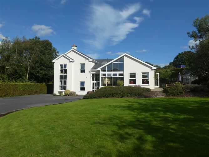 Enclosure in ClonmelshEnclosure · 1169 yd
 Graveyard in ClonmelshGraveyard · 1673 yd
 Saint Joseph's Catholic Churchchurch/chapel · 1.1 mi
 Pedunculate OakPedunculate Oak · 1.6 mi
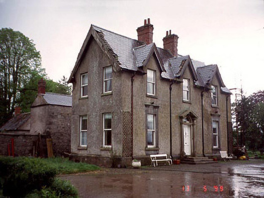 Garryhundon Househouse · 1.6 mi
 Clogrenan CastleCastle, tower house · 2.5 mi
 Site of CastleCastle, unclassified · 2.6 mi
 Graveyard in Tomard Lower (3 Detached Portions)Graveyard · 3.0 mi
 Common LimeCommon Lime · 3.3 mi
 Carlow County MuseumMuseum · 3.3 mi
 Carlow CastleRuined medieval castle · 3.4 mi